What is recorded here
This site was described by Macalister (1899, 282) as a small, almost destroyed lios KE052-062----, measuring 7m in diameter. Three mounds (KE052-062001-, KE052-062002- & KE052-062003-) in the interior marked the foundations of 3 chambers. It was situated on a steep W facing slope overlooking the Blasket Sound and no visible trace survives.
The above description is derived from J. Cuppage, ‘Corca Dhuibhne. Dingle Peninsula archaeological survey. Ballyferriter. Oidhreacht Chorca Dhuibhne’ (1986), no. 1530. In certain instances the entries have been revised and updated in the light of recent research.
Date of upload: 5 August 2013
A local fairy fort (ringfort/rath); wider significance not recorded.
This remains an important historical record, but the official description says the monument is no longer visible or has been destroyed. The monument record does not grant public access. Check the route and ask the landowner before entering private land.
- What survives
- No visible remains or recorded as destroyed
Places near here
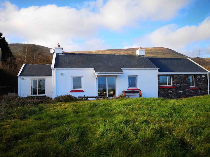 Hut site in Baile ÍcínHut site · 122 yd
 Faill BearnaiscCliff · 384 yd
 Man-made underground passage in Com Dhíneol ThuaidhMan-made underground passage · 534 yd
 Traigh an ChomaBeach / strand · 750 yd
 Na Leacacha RéidheCliff · 1047 yd
 Binn an ChomaMountain / peak · 1493 yd
 Church in Baile An GhleannaChurch · 1562 yd
 Dunmore HeadViewpoint · 1695 yd
 Sliabh an IolairMountain / peak · 1.2 mi
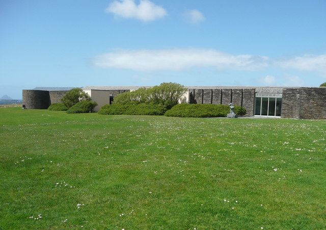 Ionad an Bhlascaoid MhóirMuseum · 1.2 mi
 Clochán MórHeritage attraction · 1.3 mi
 Church in Gleann LoicChurch · 1.4 mi
Other information
Photo: Credit not shown in the picture search · Rights wording not checked; contact us if this picture should be removed