What is recorded here
In tillage. An oval enclosure (dims. c. 48m NW-SE; c. 35m NE-SW), defined by a fosse, identified as a cropmark on Google Earth Pro imagery (imagery date 14 July 2018) by Jean-Charles Caillère and Simon Dowling. There is an entrance (Wth c. 5m) in the NE quadrant.
See attached photograph:
KK025-052----_01 Image ©2019 CNEW/Airbus: Google Earth Pro satellite imagery (14 July 2018)
Compiled by: Jean Farrelly
Date of upload: 6 January 2020
The monument record does not grant public access. Check the route and ask the landowner before entering private land.
- What survives
- Recorded monument
Places near here
 Church (in ruins)Church · 655 yd
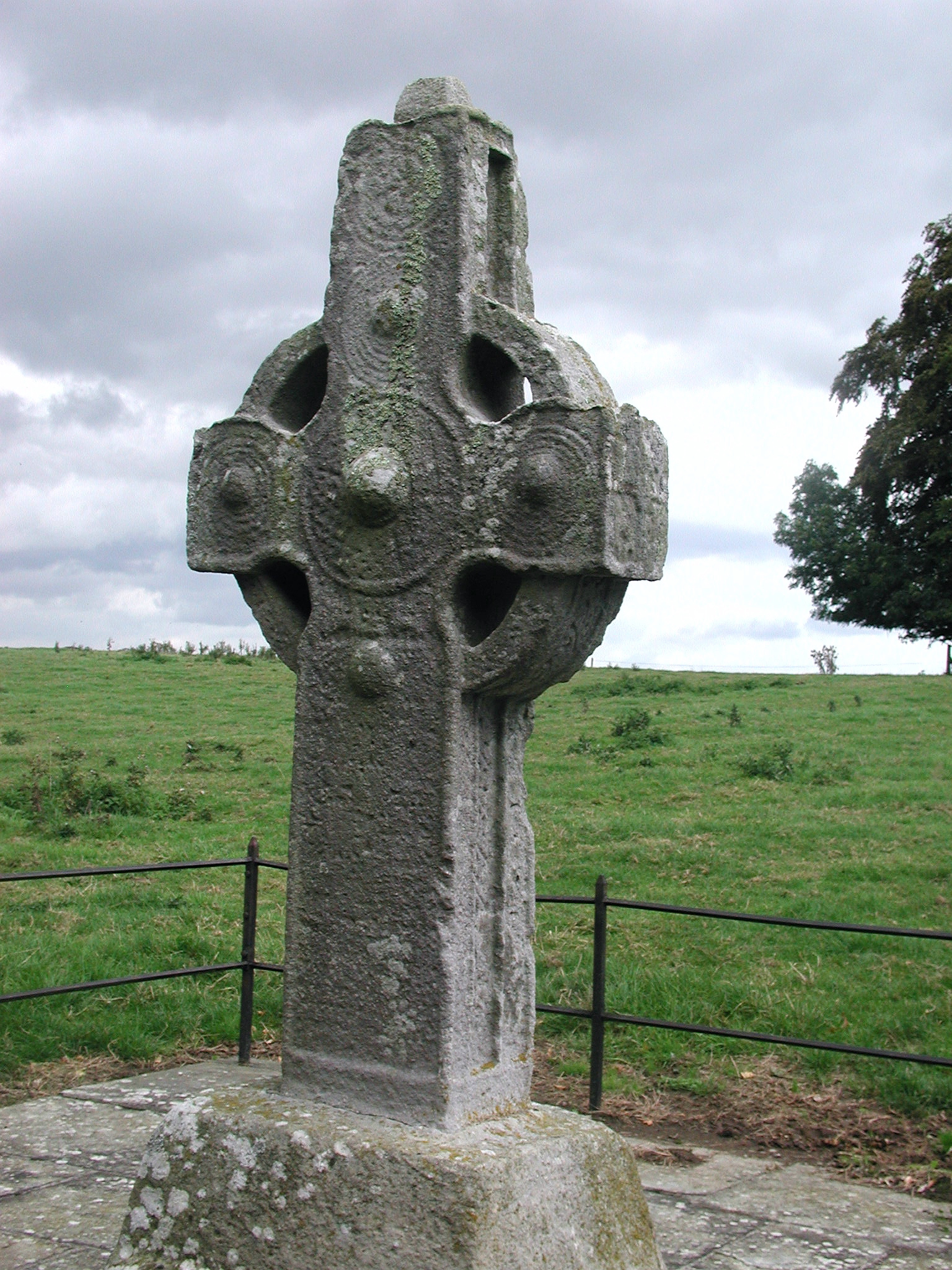 CrossCross, High cross · 655 yd
 IndicatedHoly well · 714 yd
 The Burrow FieldForest · 1546 yd
 Tinnakeenly BogForest · 1757 yd
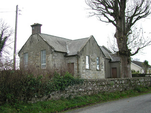 Skeaghvasteen National Schoolschool · 1.1 mi
 CastleCastle, motte · 1.7 mi
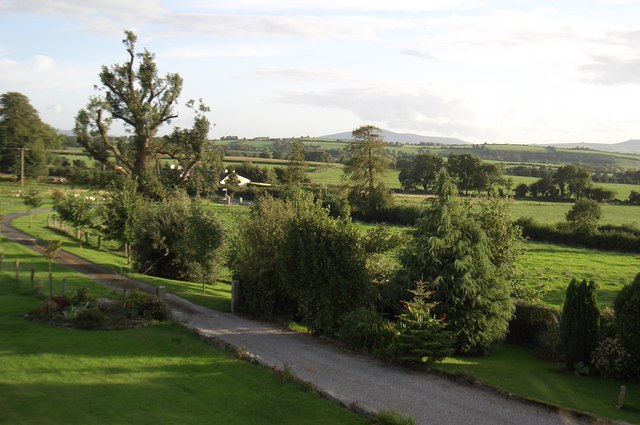 CroghanMountain / peak · 1.9 mi
 Drumroe Castle (ruins)Castle · 2.2 mi
 The PoundMemorial · 2.4 mi
 Keating's WellSpring · 2.5 mi
 Monastic MillsMemorial · 2.5 mi