
What is recorded here
Thirty-two ghost trenches mark repeated shelters rather than permanent rooms, while three kilns still hold the shape of heat used to dry corn. The ditch cut through an older ditch before a younger line crossed it again, proving the place kept changing instead of standing complete. People likely returned across generations to break winds, feed hunger and adjust boundaries beside the burial ground.
A subcircular Iron Age enclosure (int. dim. c. 45m E-W) is defined by a wide fosse (Wth of top c. 3-6m) that is recorded E-S-W but its N extent lies outside the exposed area or could underlie alluvial soils that were the topmost deposits. It is located just NE of the burial ground (ME025-078----) and just 5m W of the prehistoric rectilinear enclosure (ME025-079----). Its perimeter fosse is cut by the third outermost fosse surrounding the burial ground. A section through the U-shaped ditch (Wth of top 4.2m; D 1.82m) provided a sample from a middle layer that yielded a C14 date of 255-392 cal. AD (UBA-11143). The sampled section showed this ditch cutting an earlier ditch (Wth 1.8m; D 1.1m) and was itself post-dated by a later linear ditch (Wth 1m; D 0.6m). Fifty five features were recorded within the enclosure, including 3 possible corn-drying kilns, 32 possible slot-trenches, 7 post-holes, 3 pits and 3 spreads. Despite the great number of slot-trenches no structures could be identified and most were probably re-iterations of wind-breaks or small shelters, even though no hearths as such were recorded. Two of the kilns were figure-of-eight shaped (L 1.9m x 0.4-1m: L 3.2m; Wth 1.2-1.3m) and one was keyhole-shaped (diam. 1.4m; L 2.3m). (Hession 2009, 35-38)
See the attached site plans from Hession (2009, figs 5, 7)
Compiled by: Michael Moore
Date of upload: 31 March 2023
Hession, J. 2009 Final Archaeological Report for the multiphase archaeological landscape preserved in situ at IDA Business and Technology Park, Dublin, Rd., Navan, Co. Meath. Licence: 07E0892. Unpublished report, Margaret Gowen & Co.
The monument record does not grant public access. Check the route and ask the landowner before entering private land.
- What survives
- Recorded monument
Places near here
 Field boundary in AthlumneyField boundary · 95 yd
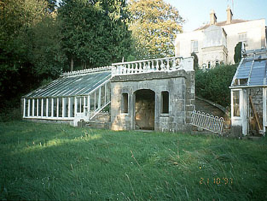 Boyne View Housesummerhouse · 323 yd
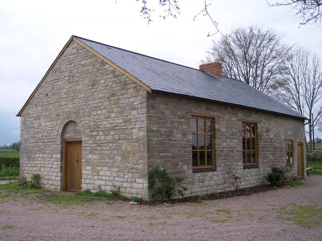 Site of Old ChapelChurch · 540 yd
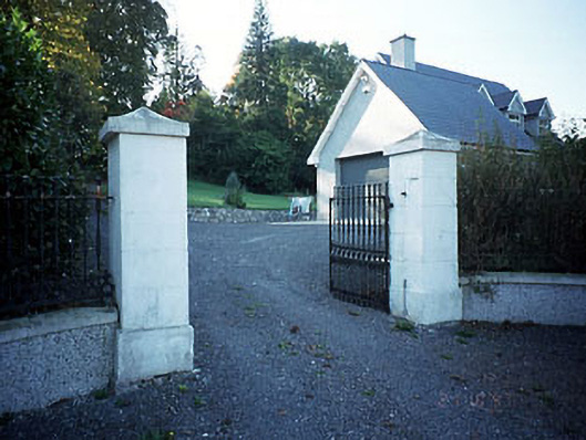 Belmount Housegates/railings/walls · 608 yd
 CastleCastle, motte · 1058 yd
 The RampartWood · 1611 yd
 Blackcastle DemesneWood · 1.8 mi
 Carn HillMountain / peak · 1.8 mi
 Donaghmore Round TowerHeritage attraction · 1.9 mi
 Nangle CourtMemorial · 1.9 mi
 Assey CastleCastle, tower house · 3.6 mi
 BohermeenMountain / peak · 4.5 mi
Other information
Photo: Credit not shown in the picture search · Rights wording not checked; contact us if this picture should be removed