
What is recorded here
A large area was excavated (E3502) during 2005 as a part of a complex area know as Site 42-44 of the N11 Gorey to Arklow link. An extensive area (dims. 250m N-S 48-60m E-W) across the road-take was excavated, but geophysical survey indicates that activity extended outside this to the E, W and SW. Situated on the lower NW-facing slope of Ask Hill.
The geophysical survey conducted in October 2005 by Target Archaeological Geophysics outside the excavated area produced evidence of an enclosure (ext. diam. c. 25m) located c. 70m W of the ring-ditch (WX007-076010-). This enclosure has an opening at the NE, and the ring-ditch (WX007-076017-) is c. 10m to the N. (Stevens 2004a, 394; 2008, 54-5)
Compiled by: Michael Moore
Date of upload: 16 March, 2012
The monument record does not grant public access. Check the route and ask the landowner before entering private land.
- What survives
- Recorded monument
Places near here
 Structure in AskStructure · 107 yd
 Enclosure in AskEnclosure · 135 yd
 Kiln in ToberduffKiln · 502 yd
 post boxpost box · 1.1 mi
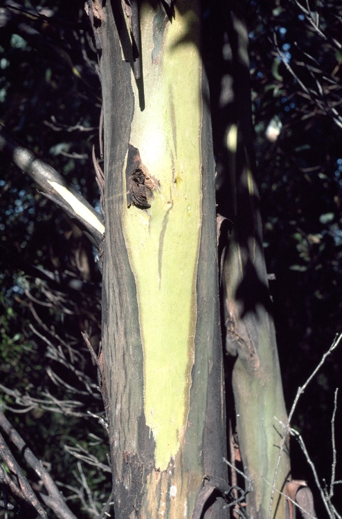 Johnston's gumJohnston's gum · 1.5 mi
 Curragh WoodWood · 1.6 mi
 CastleCastle, unclassified · 1.7 mi
 Tara HillMountain / peak · 1.9 mi
 Kia Ora Mini FarmHeritage attraction · 2.3 mi
 Laraheen HillMountain / peak · 2.5 mi
 Market HouseHeritage attraction · 2.7 mi
 1798 MonumentMemorial · 3.0 mi
Other information
Photo: Credit not shown in the picture search · Rights wording not checked; contact us if this picture should be removed