What is recorded here
In tillage. Visible on Bing Maps Aerial view (pers. comm. P. Reid) as the cropmark of a D-shaped enclosure (est. diam. c. 50m NE-SW) with a straight SW side (est. L c. 30m) enclosed by a back-filled fosse.
Compiled by: Gearóid Conroy
Date of upload: 12 November 2014
The monument record does not grant public access. Check the route and ask the landowner before entering private land.
- What survives
- Recorded monument
Places near here
 Enclosure in YoungstownEnclosure · 1117 yd
 IndicatedFairy fort / earthen ringfort · 1316 yd
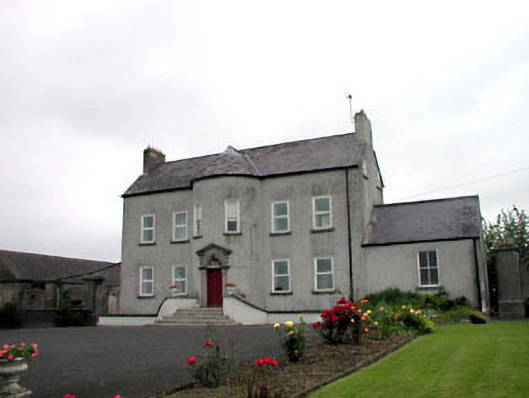 Youngstown Housefarm house · 1363 yd
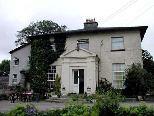 Skerries Housefarm house · 1371 yd
 Ardscull MoatCastle, motte · 1.6 mi
 History of Moat of ArdscullVisitor information · 1.6 mi
 European BeechEuropean Beech · 1.6 mi
 Gorden Bennet Race memorialMemorial · 1.6 mi
 CastleCastle, unclassified · 1.7 mi
 Battle of Kilrushbattle · 2.5 mi
 Derryvullagh IslandForest · 2.6 mi
 1798 memorialMemorial · 4.7 mi