What is recorded here
No visible trace survives in the grassland, but a rectangular earthen fort once stood there, thirty-three metres long with a narrow southern gap. Whether people lived inside, stored grain, or simply marked a boundary remains unknown. The earth swallowed the bank and fosse until even the shape faded from memory.
In grassland. Classified by McCaffrey (1952, 111, no. 7) as a rectangular ‘Earthen fort’ (c. 33m E-W; c. 26m N-S) defined by a bank and fosse with an entrance gap (Wth 2m) at S. No visible surface trace survives.
Compiled by: Galway Archaeological Survey, UCG
Date of upload: 18 February 2019
The monument record does not grant public access. Check the route and ask the landowner before entering private land.
- What survives
- Recorded monument
Places near here
 Man-made underground passage in An Carn Mór ThiarMan-made underground passage · 1017 yd
 Hut site in An Carn Mór ThiarHut site · 1301 yd
 Cloghmoyle Castle (in ruins)Castle, unclassified · 1496 yd
 Castle (in ruins)Castle, unclassified · 1.3 mi
 Quarry in Cashla (aughrim Ed )Quarry · 1.8 mi
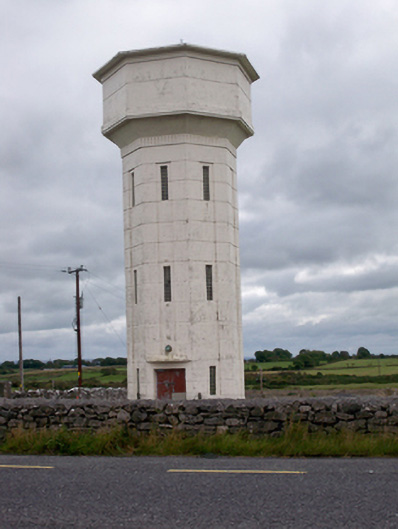 water towerwater tower · 2.3 mi
 Aunteen WoodsWood · 4.1 mi
 European BeechEuropean Beech · 4.2 mi
 Leadmine HillMountain / peak · 5.0 mi
 Royal Tara Visitor CentreHeritage attraction · 5.0 mi
 Rabbit IslandIslet · 5.3 mi
 Ballyloughane BeachBeach / strand · 5.4 mi