
What is recorded here
Thirty metres of exposed earth rise above the Womanagh river scars, marking a circular enclosure where hidden passages may still cut through the ground. The southern and western boundaries align with a larger straight line stretching toward a distant field fence, suggesting the site belonged to a wider landscape rather than standing alone. People may have lived beneath or beside these marks, using the river valley for trade, ritual or refuge while the enclosure watched over them.
Parch marks (CASAP) shows roughly circular, univallate enclosure (diam. c. 30m), set above scarps leading down to tributary of Womanagh river. Marks in interior possibly indicating Man-made underground passages; one abutting S fosse, one to W. Enclosure surrounded by a narrow fosse, concentric with banks to S, to W part of a larger straight line trending SW-NE and extending almost into N field fence, to N curving into an arc c. 20m from fort, from W straight side to field fence abutting enclosure to E.
The above description is derived from the published 'Archaeological Inventory of County Cork. Volume 2: East and South Cork' (Dublin: Stationery Office, 1994). In certain instances the entries have been revised and updated in the light of recent research.
Date of upload/revision: 14 January 2009
The monument record does not grant public access. Check the route and ask the landowner before entering private land.
- What survives
- Recorded monument
Places near here
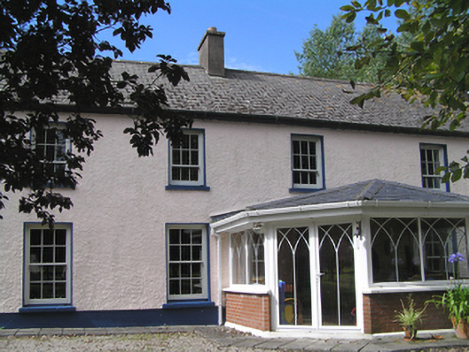 Aghavine Househouse · 444 yd
 Church (in Ruins)Church · 1683 yd
 Inchiquin Castle (in Ruins)Castle, Anglo-Norman masonry castle · 1.1 mi
 Glebe IslandIslet · 1.1 mi
 Ballymacoda Castle (Site of)Castle, Anglo-Norman masonry castle · 1.3 mi
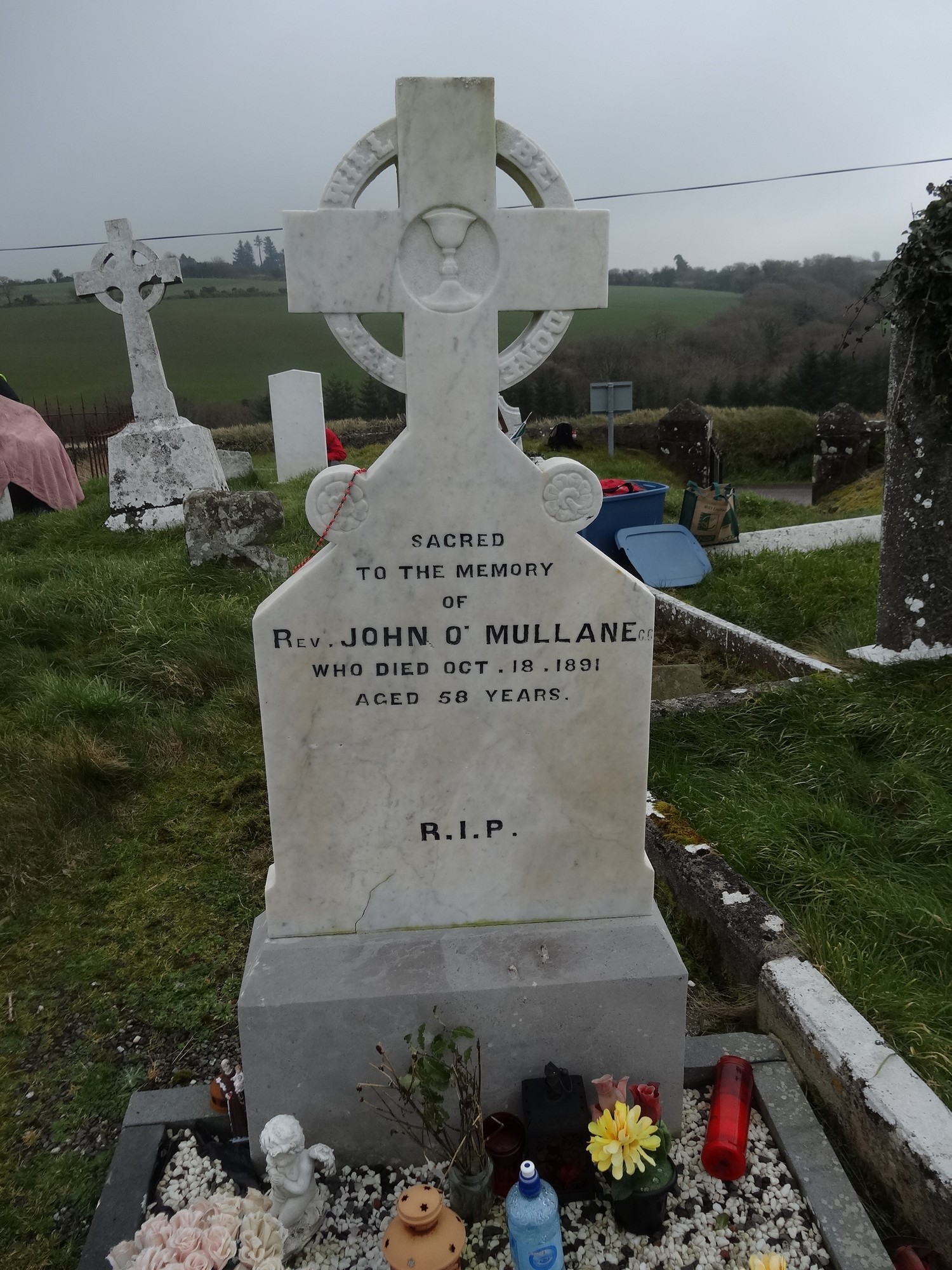 Grave YdGraveyard · 1.7 mi
 Enclosure in BallymacodaEnclosure · 2.0 mi
 Historical Graveyard InformationVisitor information · 3.2 mi
 Lady's WellSpring · 3.6 mi
 Fainin's WellSpring · 3.9 mi
 Capel IslandIslet · 4.1 mi
 Glenbower WoodForest · 4.5 mi
Other information
Photo: Credit not shown in the picture search · Rights wording not checked; contact us if this picture should be removed