
What is recorded here
Fort Hill in Belleisle, County Fermanagh, is an enclosure whose age remains uncertain, yet its boundary still marks the land. The name suggests a hill once shaped into a defensible place, perhaps crowded with people watching the valley below. That much is missing, but the earth keeps the shape of human urgency.
The official Northern Ireland record identifies this as ENCLOSURE: FORT HILL. Recorded period: UNCERTAIN. The official map point was placed at the centre of the recorded archaeological site from the source map reference.
The monument record does not grant public access. Check the route and ask the landowner before entering private land.
- What survives
- Recorded monument
Places near here
 Fort HillArchaeological place · 115 yd
 Temple Will WoodWood · 204 yd
 Blackbog WoodWood · 212 yd
 Belle IsleIsland · 725 yd
 Inishbeg HillMountain / peak · 1004 yd
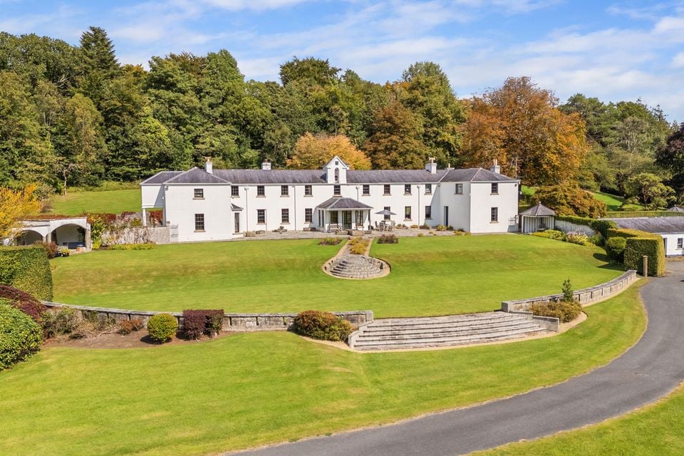 HOLY WELL: TOBERSHANNY in CloonacarnHOLY WELL: TOBERSHANNY · 1244 yd
 St. Michael's ChurchChurch · 1511 yd
 Carry BridgeBridge · 1643 yd
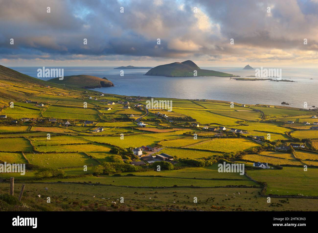 Carrickmacrourk IslandIsland · 1.1 mi
 Carrowhony Pet FarmHeritage attraction · 3.3 mi
 Battle of the Ford of the Biscuitsbattle · 3.6 mi
 Giant's GraveArchaeological place · 3.9 mi
Other information
Photo: Credit not shown in the picture search · Rights wording not checked; contact us if this picture should be removed