What is recorded here
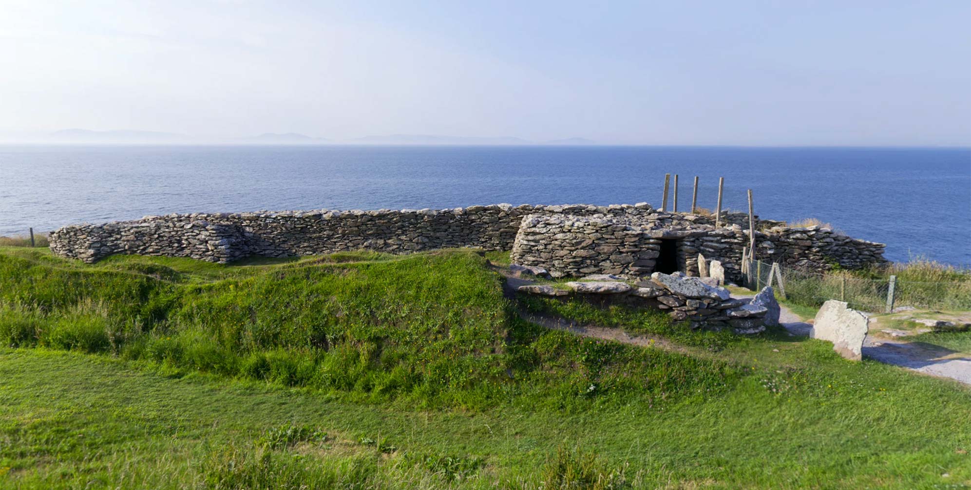
Not a castle, not a mansion, but a fort enclosure in Ballycregagh, County Antrim, recorded without a confident date. Its boundary may have been a ditch, a bank or a line of stones, yet the name still separates inside from outside. People may have gathered there to trade, worship, resist or simply decide which side of the border they belonged to.
The official Northern Ireland record identifies this as ENCLOSURE: DUNAGHY FORT. Recorded period: UNCERTAIN. The official map point was placed at the centre of the recorded archaeological site from the source map reference.
Dunaghy Fort in Ballycregagh is a ringfort, a type of early-medieval agricultural and defensive settlement, typically dating between the 5th and 10th centuries AD. Local tradition associates such sites with fairy folklore, and it may have been regarded as a place of supernatural significance in later popular belief.
The monument record does not grant public access. Check the route and ask the landowner before entering private land.
- What survives
- Recorded monument
Places near here
 Clough CastleArchaeological place · 163 yd
 ENCLOSURE (rath?) & Man-made underground passage in Carn-BegENCLOSURE (rath?) & Man-made underground passage · 1.0 mi
 CASTLE & HILLTOP ENCLOSURE: DOONBOUGHT FORT in DoonboughtCASTLE & HILLTOP ENCLOSURE: DOONBOUGHT FORT · 1.3 mi
 ENCLOSURE in BallyreaghENCLOSURE · 1.5 mi
 Dunminning CottageHouse · 3.7 mi
 CarncormickMountain / peak · 4.5 mi
 SlievenahanaghanMountain / peak · 4.6 mi
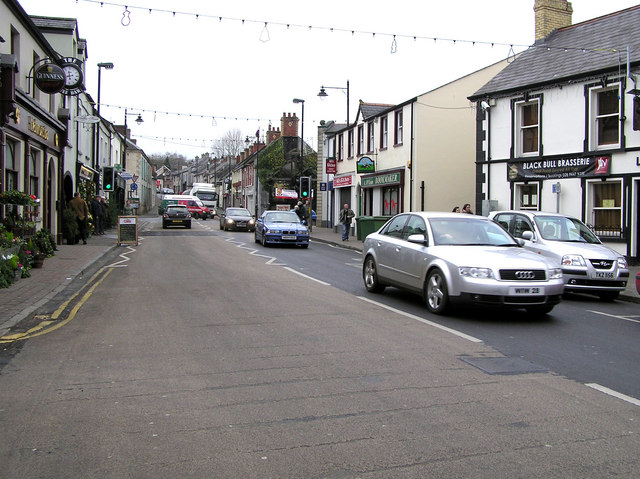 CHURCH: DONNELLY'S CELL (c.f. Ant 032:001) in CraigsCHURCH: DONNELLY'S CELL (c.f. Ant 032:001) · 5.7 mi
 2025 Northern Ireland riotsriot · 7.2 mi
 Glenariff ForestWood · 7.9 mi
 Ess-na-Larach WaterfallWaterfall · 8.0 mi
 Ess-Na-Crub WaterfallWaterfall · 8.2 mi
Other information
Photo: Credit not shown in the picture search · Rights wording not checked; contact us if this picture should be removed