
What is recorded here
ENCLOSURE (destroyed) in Manister, County Antrim, Ireland, no longer has a visible shape. What remains is the lost idea of a boundary, perhaps drawn in soil, stone or memory before the land changed. People may have walked past it, avoided it or forgotten it entirely. The destruction did not erase the place, it removed the warning that the place existed.
The official Northern Ireland record identifies this as ENCLOSURE (destroyed). Recorded period: UNCERTAIN. The official map point was placed at the centre of the recorded archaeological site from the source map reference.
The monument record does not grant public access. Check the route and ask the landowner before entering private land.
- What survives
- Recorded monument
Places near here
 ENCLOSURE (probable rathENCLOSURE (probable rath, OS memoir site; unlocated) · 1250 yd
 Drumtullagh Parish ChurchChurch · 1420 yd
 Gracehill HouseHouse · 1.1 mi
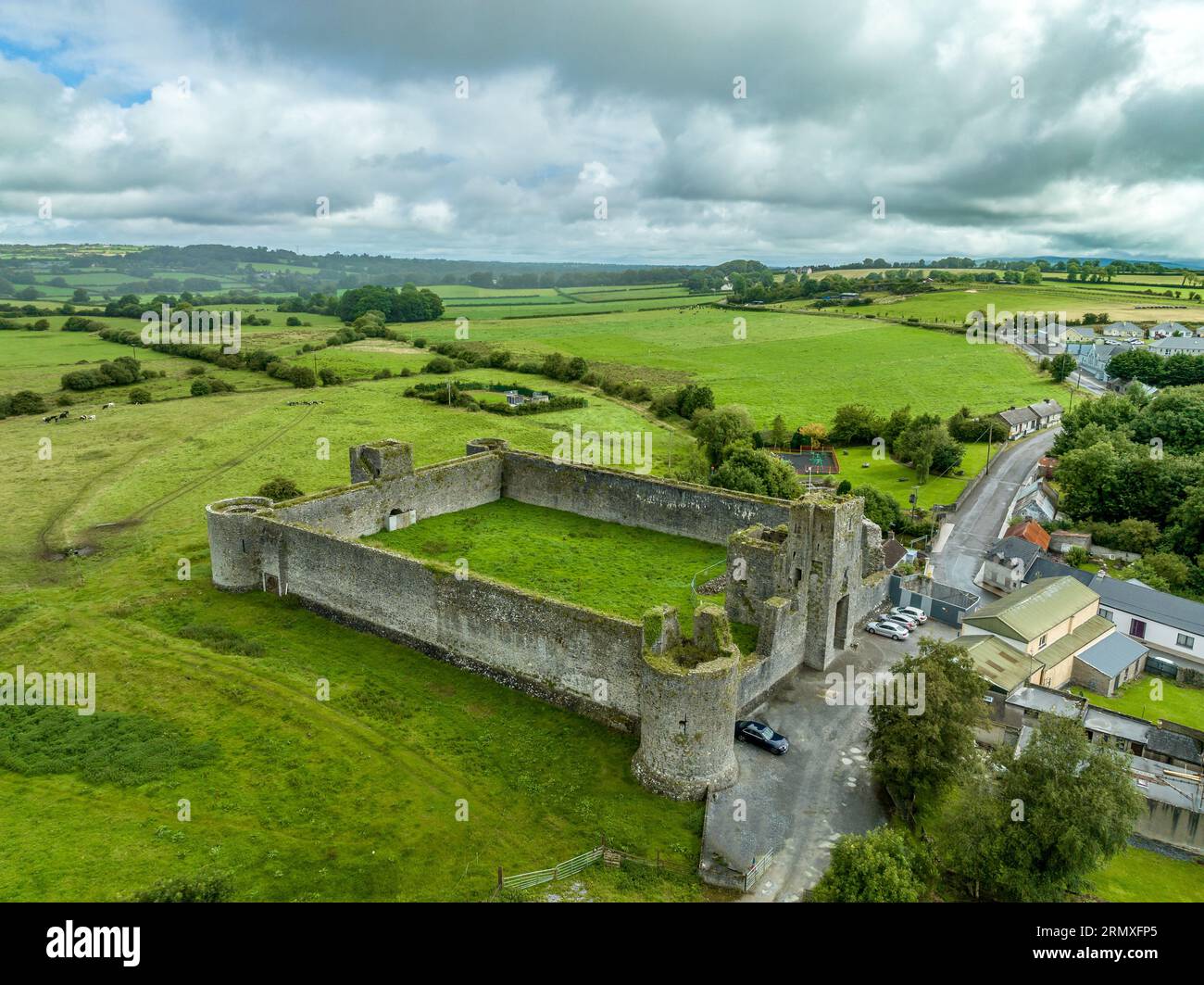 A.P. SITEA.P. SITE, possible enclosures (2) · 1.2 mi
 The Dark HedgesViewpoint · 1.3 mi
 Kilmoyle WoodForest · 1.3 mi
 RECTANGULAR CROPMARKRECTANGULAR CROPMARK, CASTLE?: CASTLE BANE · 2.6 mi
 Causeway Coast and Glens Heritage TrustVisitor information · 2.8 mi
 PRE-NORMAN CHURCH & ROUND TOWER; MEDIEVAL PARISH CHURCH; POST-MEDIEVAL CHURCH & GRAVEYARD: ARMOY CHURCH & ROUND TOWER in GlebePRE-NORMAN CHURCH & ROUND TOWER; MEDIEVAL PARISH CHURCH; POST-MEDIEVAL CHURCH & GRAVEYARD: ARMOY CHURCH & ROUND TOWER · 3.3 mi
 CASTLE (O.S. memoir site; unlocated) in Livery LowerCASTLE (O.S. memoir site; unlocated) · 3.4 mi
 KnocklaydMountain / peak · 5.4 mi
 Ballycastle ForestForest · 6.0 mi
Other information
Photo: Credit not shown in the picture search · Rights wording not checked; contact us if this picture should be removed