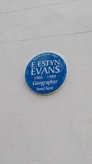
What is recorded here
Emyr Estyn Evans lived at 100a Malone Road from 1905 until 1989, mapping the living shape of the world before retiring into the quiet of County Antrim. The blue plaque marks the address where a geographer walked the streets and observed the land, turning ordinary distance into meaningful knowledge. Ulster History Circle recorded the fact, but the house itself still belongs to the memory of one man watching the world move.
This blue commemorative plaque records: E Estyn Evans 1905-1989 geographer lived here Recorded plaque organisation: Ulster History Circle.
Emyr Estyn Evans was a prominent Welsh geographer and folklorist, known for his extensive work on the geography of Wales and his contributions to understanding Welsh folklore and culture.
A plaque record does not grant entry to a building or private land. View it from a public place unless permission is clearly given.
Places near here
 CHURCH: KILLPATRICK OF MALONECHURCH: KILLPATRICK OF MALONE, THIS IS ANT 061:006 · 590 yd
 FORTIFIED HOUSE & ?BAWN (unlocated): MOSES HILL'S HOUSE in Malone LowerFORTIFIED HOUSE & ?BAWN (unlocated): MOSES HILL'S HOUSE · 700 yd
 Riddel HallHouse · 773 yd
 CHURCH SITE (unlocated): CAPELLA DE CROOCKMOCK, CRAMAGH, CRANOGE in Malone LowerCHURCH SITE (unlocated): CAPELLA DE CROOCKMOCK, CRAMAGH, CRANOGE · 1105 yd
 CHURCH SITE: FRIAR'S BUSH, CAPELLA DE KILPATRICK in Malone LowerCHURCH SITE: FRIAR'S BUSH, CAPELLA DE KILPATRICK · 1138 yd
 Ulster MuseumMuseum · 1182 yd
 Lord Kelvin's StatueHeritage attraction · 1229 yd
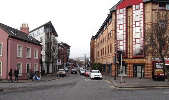 Sandy RowVisitor information · 1.0 mi
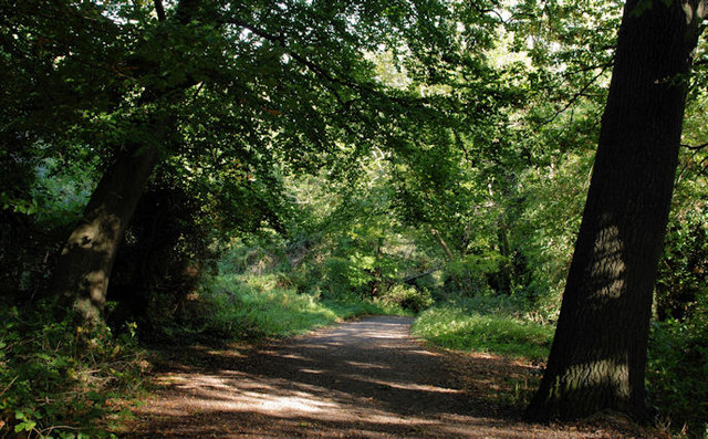 Lagan MeadowsNature reserve · 1.0 mi
 Rose & Crown Bar bombingbomb attack · 1.2 mi
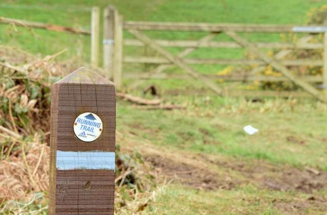 Lagan TrailWalking route · 1.2 mi
 Belvoir Park ForestForest · 1.3 mi
Other information
Photo: Jez Nicholson · CC BY-SA 2.0