What is recorded here
Situated on a S-facing slope of Pallis Hill. Raised, grass and fern-covered square area (dims. 36m E-W; 35m N-S) defined by earthen banks (Wth 3-5m; int. H 0.5-1m) with upturned corners. This is surrounded by a moat (Wth of top 4-5m; D below interior 1-1.5m), which is not visible at S where there may be an entrance. Rath (WX002-018----) is c. 90m to the E. (Barry 1977, 225, WX 99)
The above description is derived from the published 'Archaeological Inventory of County Wexford' (Dublin: Stationery Office, 1996). In certain instances the entries have been revised and updated in the light of recent research.
Compiled by: Michael Moore
Date of upload/revision: 27 July 2012
The monument record does not grant public access. Check the route and ask the landowner before entering private land.
- What survives
- Recorded monument
Places near here
 CastleCastle, motte · 486 yd
 Borleagh Housewalled garden · 1.1 mi
 graveyard/cemeterygraveyard/cemetery · 1.3 mi
 Settlement cluster in LimerickSettlement cluster · 1.4 mi
 Persian WalnutPersian Walnut · 1.5 mi
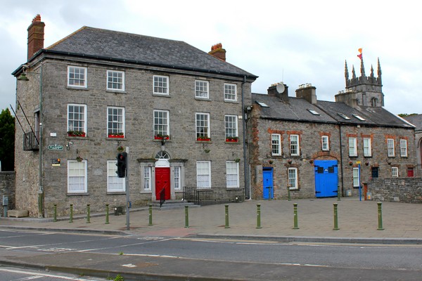 IndicatedStructure · 1.5 mi
 Laraheen HillMountain / peak · 1.8 mi
 Monalee HillMountain / peak · 1.8 mi
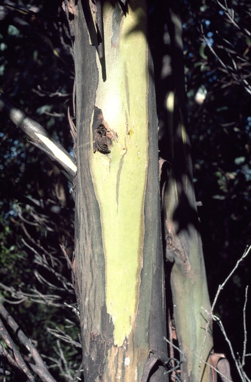 Johnston's gumJohnston's gum · 2.3 mi
 White Heaps 1798Memorial · 2.5 mi
 1798 MemorialMemorial · 3.8 mi
 (Site of) Raymond CastleCastle, unclassified · 5.3 mi