What is recorded here
Marked as a bivallate circular embanked enclosure (ext. diam. c. 70m) on the 1839 ed. of the OS 6 inch map, and situated on top of a broad hill. It is not visible at ground level. Aerial photograph (GB89.AO.15) shows the cropmark of an incomplete circular enclosure (int. diam. c. 35m) defined by a fosse with a narrow, concentric outer fosse (max. ext. diam. c. 50). The enclosure is cut by an E-W field boundary at S. A curvilinear annexe extends from the outer fosse on the northern perimeter of the enclosure. A large curvilinear enclosure (WX040-016001-) is located in the adjacent field to the south. Both enclosures appear to be part of the same monument.
The above description is derived from the published 'Archaeological Inventory of County Wexford' (Dublin: Stationery Office, 1996). In certain instances the entries have been revised and updated in the light of recent research.
Compiled by: Michael Moore
Date of upload/revision: 21 February, 2013
The monument record does not grant public access. Check the route and ask the landowner before entering private land.
- What survives
- Recorded monument
Places near here
 Enclosure in RathumneyEnclosure · 55 yd
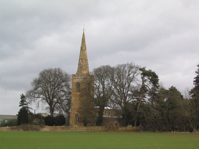 Site of ChurchChurch · 709 yd
 Rathumney Castle (in ruins)Castle, hall-house · 744 yd
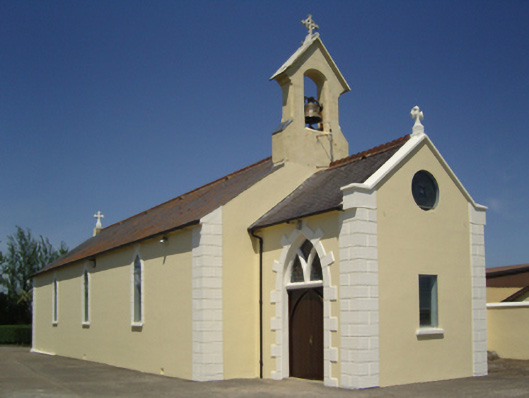 Catholic Church of Saint John the Baptistchurch/chapel · 1037 yd
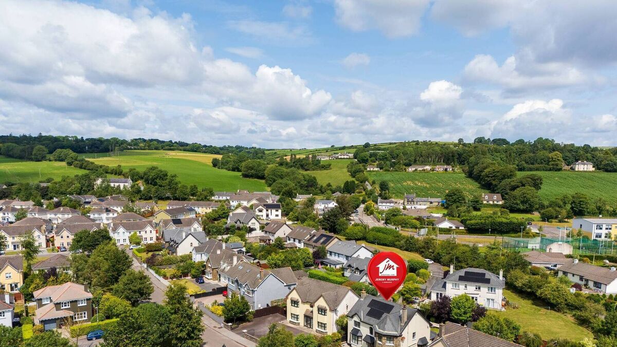 CastleCastle, unclassified · 1.2 mi
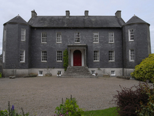 Dunmain Housefarm house · 1.3 mi
 Campile WWII Bombing MemorialMemorial · 3.2 mi
 SlievecoiltiaMountain / peak · 3.8 mi
 Dunbrody Abbey Visitor CentreHeritage attraction · 3.9 mi
 Dunbrody Abbey Hedge MazeHeritage attraction · 3.9 mi
 Devon whitebeamDevon whitebeam · 4.4 mi
 Common WhitebeamCommon Whitebeam · 4.9 mi