What is recorded here
Located on top of a hill at the E edge of the Slaney valley with the N-S river c. 200m to the W. This is a raised, scrub-covered, circular area (diam. 21m) defined by scarps (H 0.7m at SW to 1.4m generally). There is no visible fosse or entrance.
The above description is derived from the published 'Archaeological Inventory of County Wexford' (Dublin: Stationery Office, 1996). In certain instances the entries have been revised and updated in the light of recent research.
Compiled by: Michael Moore
Date of upload/revision: 3 September, 2012
The monument record does not grant public access. Check the route and ask the landowner before entering private land.
- What survives
- Recorded monument
Places near here
 (site of) St. Davids ChurchChurch · 930 yd
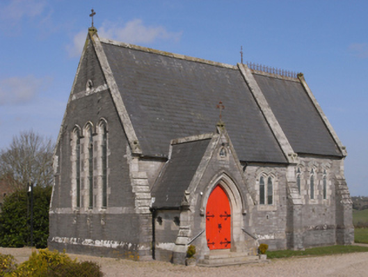 Bellevuechurch/chapel · 957 yd
 Embanked enlosureFairy fort / earthen ringfort · 1413 yd
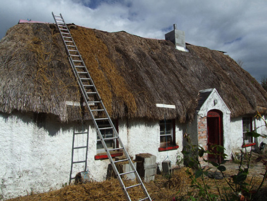 farm housefarm house · 1518 yd
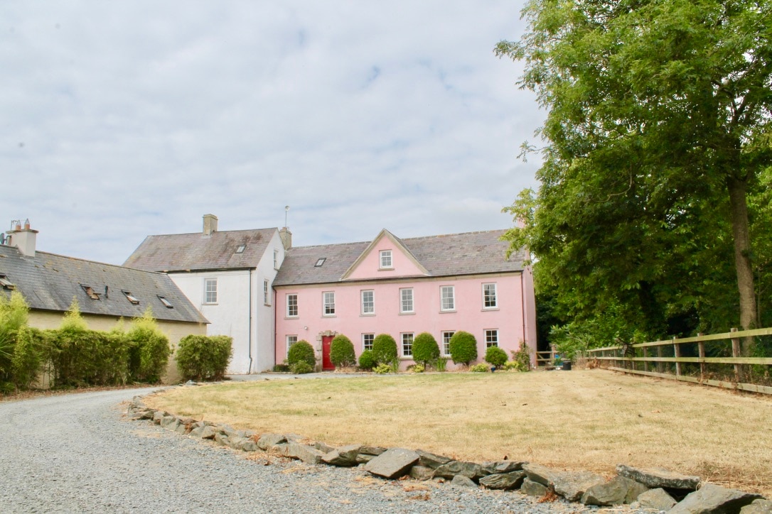 CastleCastle, tower house · 1.6 mi
 King's IslandIsland · 1.7 mi
 Celebrating 125 YearsMemorial · 2.8 mi
 (site of) Polehore CastleCastle, unclassified · 3.5 mi
 Peace GardenMemorial · 4.3 mi
 Rectory Hall ForestWood · 4.5 mi
 Ballywish SouthForest · 4.5 mi
 Raheennahoon HillMountain / peak · 4.9 mi