What is recorded here
Marked as a circular embanked enclosure (ext. diam. c. 50m) on the 1837 and 1914 eds of the OS 6-inch map, and situated on the floodplain of Lough Ree, which is c. 1km to the SE. Subcircular area (int. dims 39.5m E-W; 36.4m N-S) defined by a water-filled moat (at N: Wth c. 8m; D c. 1m; at SE: Wth c. 4m; D c. 1m). The moat is filled in S-W and a laneway runs NE-SW across the monument from a N-S road at E to houses on the W side. A channel (Wth c. 6m; D c. 1m) has been dug from the perimeter at NW towards the centre (L. c. 15m). The S half is grass-covered but the N part is overgrown, with some mature trees. Archaeological testing (04E1364) c. 20m to SE failed to produce any related material (Read 2007j).
Compiled by: Michael Moore
Date of upload: 29th September, 2010
The monument record does not grant public access. Check the route and ask the landowner before entering private land.
- What survives
- Recorded monument
Places near here
 FerrinchIslet · 1.2 mi
 CrossCross, Wayside cross · 1.8 mi
 ChapelChurch · 2.1 mi
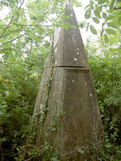 monumentmonument · 2.1 mi
 Bushy IslandIslet · 2.2 mi
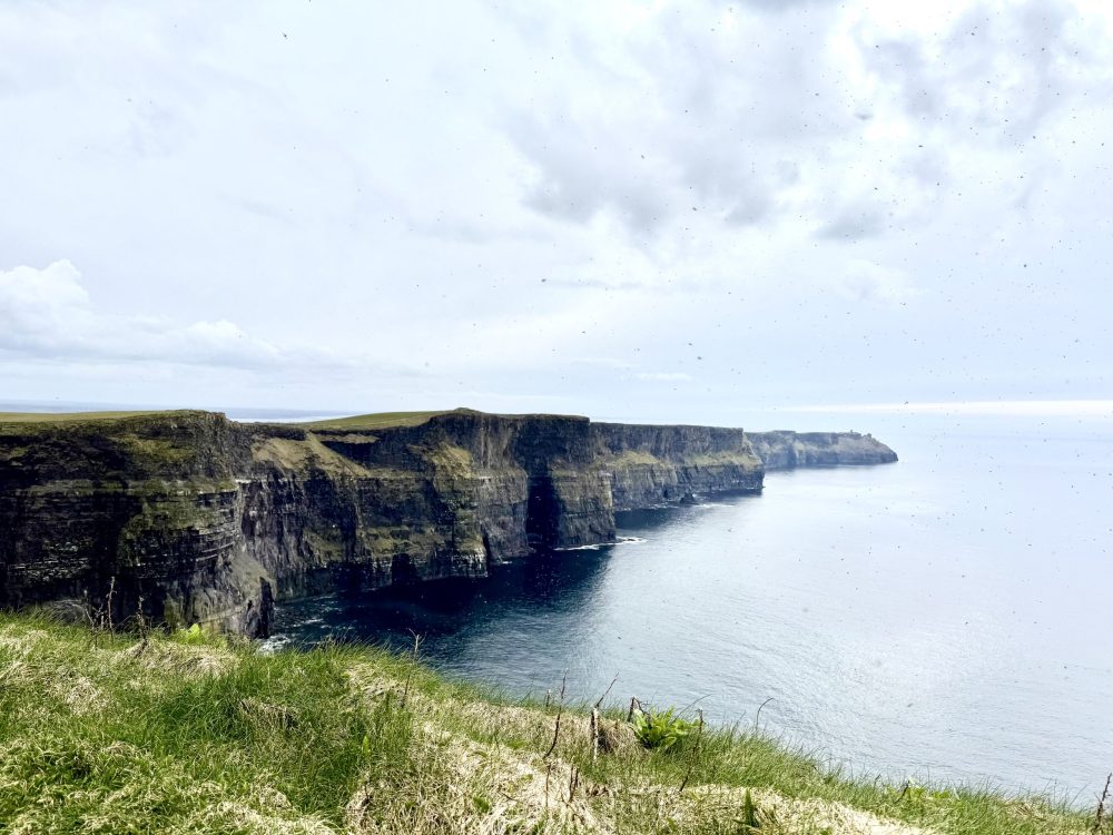 IndicatedFairy fort / earthen ringfort · 2.3 mi
 Rathcline CastleBawn · 2.5 mi
 White Sand WoodWood · 2.8 mi
 Wild birdsVisitor information · 2.9 mi
 Commons North WalkVisitor information · 3.0 mi
 CastleCastle, unclassified · 3.9 mi
 Cruit BayBay · 4.4 mi