What is recorded here
Located in a slight NW-SE valley with a small NW-SE stream immediately to the SW. Circular scrub-covered raised area (diam. 28.5m NW-SE) defined by a slight earthen bank (Wth 3m; int. H 0.2m; ext. H 1.2-1.5m), with an external flat-bottomed fosse (Wth of top 7m; Wth of base 3.5-4m; D 0.3-0.5m) SE-NW. An entrance (Wth 4.4m) at NNW has been widened and there is a spoil mound in the interior.
The above description is derived from the published 'Archaeological Inventory of County Waterford' (Dublin: Stationery Office, 1999). In certain instances the entries have been revised and updated in the light of recent research.
Compiled by: Michael Moore
Date of upload/revision: 27 May 2011
The monument record does not grant public access. Check the route and ask the landowner before entering private land.
- What survives
- Recorded monument
Places near here
 Grave YardGraveyard · 699 yd
 IndicatedEnclosure · 923 yd
 Garrarus StrandBeach / strand · 1339 yd
 Kilfarrasy BeachBeach / strand · 1.0 mi
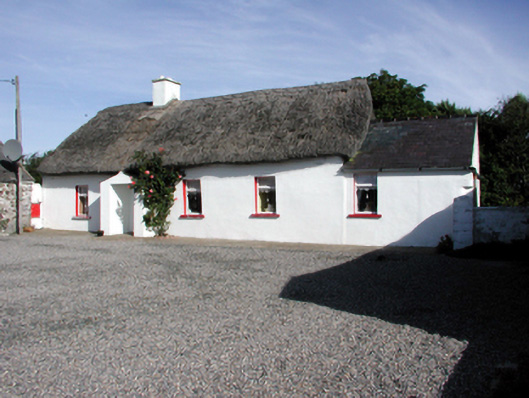 Historic buildingOfficially recorded historic building · 1.1 mi
 Church in KilfarrasyChurch · 1.2 mi
 Fenor BogNature reserve · 1.5 mi
 Ballyscanlon HillMountain / peak · 1.6 mi
 The Metal ManHeritage attraction · 1.9 mi
 Newtown WoodsWood · 1.9 mi
 Dunhill CastleCastle · 2.2 mi
 Castle (in ruins)Castle, tower house · 2.2 mi