What is recorded here
Located on a fairly level landscape. This is a wedge-shaped, overgrown area (dims. 55-65m NE-SW: 61m NW-SE) defined by an earthen bank (Wth 5-6m; int. H 0.5m) with an external moat (Wth 6.5m; D 0.5-1m) on each side. (Barry 1977, 220, WX 57)
Barry, T. B. (1977) Medieval moated sites of SE Ireland. BAR 35, Oxford.
The above description is derived from the published 'Archaeological Inventory of County Wexford' (Dublin: Stationery Office, 1996). In certain instances the entries have been revised and updated in the light of recent research.
Compiled by: Michael Moore
Date of upload/revision: 21 May, 2012
The monument record does not grant public access. Check the route and ask the landowner before entering private land.
- What survives
- Recorded monument
Places near here
 Parknashogue Housefarmyard complex · 931 yd
 Embanked enclosureFairy fort / earthen ringfort · 1328 yd
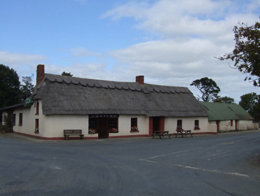 O'Brien'sfarm house · 1605 yd
 Site of ChurchChurch · 1.2 mi
 1798 MemorialMemorial · 1.3 mi
 Wexford - TexasMemorial · 1.4 mi
 Shrule Deer FarmHeritage attraction · 2.0 mi
 Donaghmore BeachBeach / strand · 2.1 mi
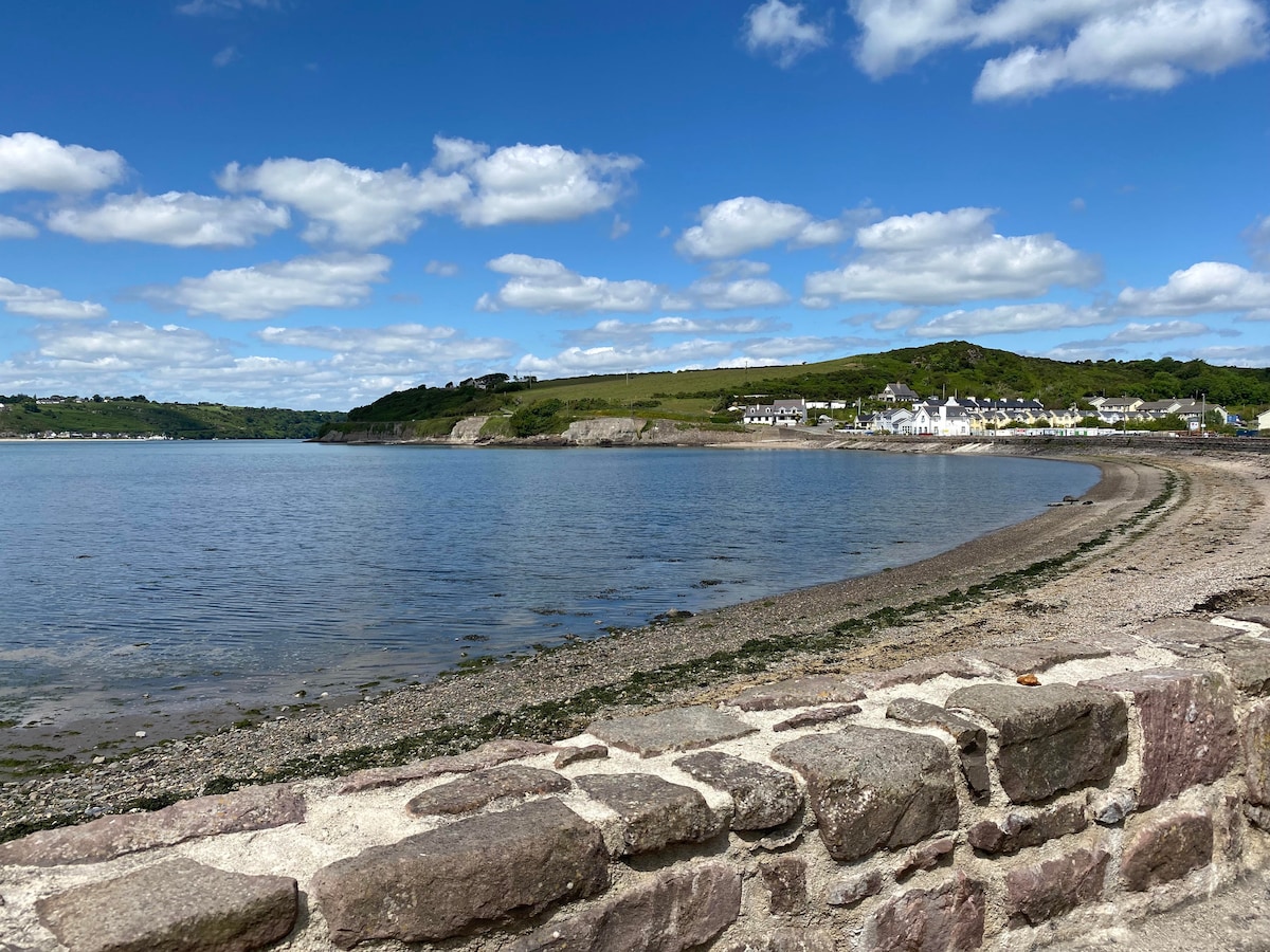 Glascarrig BeachBeach / strand · 2.4 mi
 Gilligan's CaveCave · 2.9 mi
 The Cahore Polders and DunesNature reserve · 3.6 mi
 Barnadown WoodWood · 3.9 mi