What is recorded here
Embanked enclosure is a fairy fort or earthen ringfort in Crunaun, County Roscommon, Ireland. It appears only on the 1837 Ordnance Survey map as a circular embanked enclosure near the southeast end of a northwest-southeast ridge. The grass-covered area measures about 34.5 metres northwest-southeast and 29 metres northeast-southwest, bounded by a low scarp that rises to 1.4 metres at the southeast edge. Rath RO014-001 stands roughly 80 metres to the northwest.
Marked as a circular embanked enclosure (ext. diam. c. 30m) only on the 1837 ed. of the OS 6-inch map (Mayo 74), and situated at the SE end of the crest of a NW-SE ridge. Subcircular grass-covered area (dims 34.5m NW-SE; 29m NE-SW) defined by a scarp (H 0.1-0.2m generally to 0.5m at SW and 1.4m at SE), with bushes on the perimeter ESE-SW. There is no visible fosse or entrance. Rath (RO014-001----) is c. 80m to the NW.
Compiled by: Michael Moore
Date of upload: 24 August 2010
The monument record does not grant public access. Check the route and ask the landowner before entering private land.
- What survives
- Recorded monument
Places near here
 Crunaun Castle (in ruins)Castle, unclassified · 444 yd
 Penitential station in KiltybranksPenitential station · 1288 yd
 Casatle (ruins)Castle, unclassified · 1.0 mi
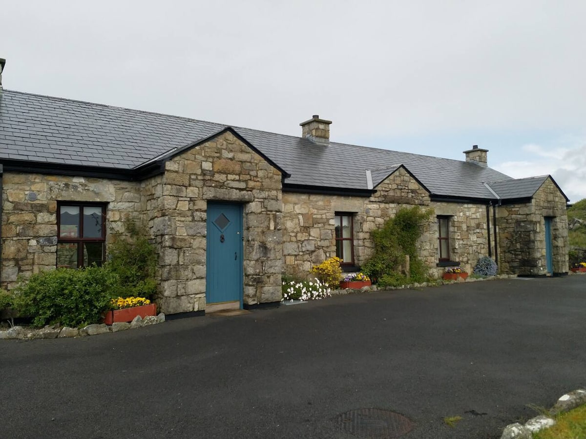 Embanked enclosureFairy fort / earthen ringfort · 1.3 mi
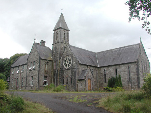 Saint Mary's Conventconvent/nunnery · 1.5 mi
 IndicatedFairy fort / stone ringfort · 2.1 mi
 Bockagh HillMountain / peak · 3.7 mi
 Druminagh WoodForest · 5.1 mi
 Bawn IslandIslet · 7.2 mi
 Rose PointHeadland · 8.0 mi
 Castle PointHeadland · 8.3 mi
 Square WoodForest · 8.3 mi