What is recorded here
Situated on a slight SE-facing slope with a small NW-SE stream c. 50m to the NE. This is a slightly raised wedge-shaped overgrown area (dims. 37-43m N-S; 29-35m E-W) with raised corners. It is defined by earthen banks (Wth 3-4m; int. H 0.5m; ext. H 1.5m) and a flat-bottomed fosse or moat (Wth 3m; ext. D 0.3m). An outer bank has been removed since the 1940s (SMR file) but slight traces of the moat are still visible at the W. (Barry 1977, 219)
The above description is derived from the published 'Archaeological Inventory of County Wexford' (Dublin: Stationery Office, 1996). In certain instances the entries have been revised and updated in the light of recent research.
Compiled by: Michael Moore
Date of upload/revision: 21 May, 2012
This monument is subject to a preservation order made under the National Monuments Acts 1930 to 2014 (PO no. 7/1956).
This remains an important historical record, but the official description says the monument is no longer visible or has been destroyed. The monument record does not grant public access. Check the route and ask the landowner before entering private land.
- What survives
- No visible remains or recorded as destroyed
Places near here
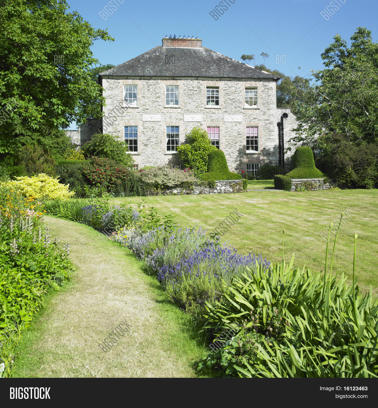 Enclosure in Ballinastraw LowerEnclosure · 1178 yd
 IndicatedEnclosure · 1330 yd
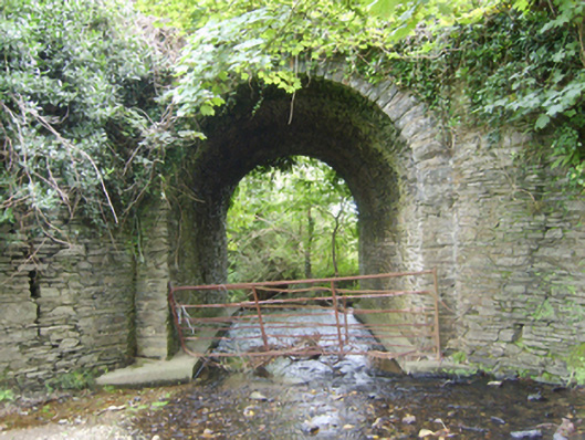 Ballinvally Bridgebridge · 1475 yd
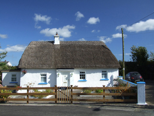 Old Mill Cottagehouse · 1501 yd
 Bird BoxesVisitor information · 1.9 mi
 Birds of PreyVisitor information · 2.1 mi
 Fontainebleau service treeFontainebleau service tree · 2.1 mi
 Boley HillMountain / peak · 3.1 mi
 Carrigroe HillMountain / peak · 3.4 mi
 Shrule Deer FarmHeritage attraction · 3.4 mi
 Father Murphy CentreHeritage attraction · 3.5 mi
 Giants BedNamed rock · 3.6 mi