What is recorded here
Situated on a slight W-E spur overlooking the Blackwater valley to the N, and adjacent to a slight N-S tream which is immediately to the W. Subcircular scrub-covered area (dims. 67m E-W; c. 50m N-S) defined by an earthen bank (Wth 6m; int. H 0.5m; ext. H 2m) with an outer fosse (Wth at base 4m). The entrance and causeway are at SE. A berm (Wth c. 10m) outside the fosse is defined by a narrow earthen bank (Wth 5m; H 1m) which survives on the W side only.
The above description is derived from the published 'Archaeological Inventory of County Waterford' (Dublin: Stationery Office, 1999). In certain instances the entries have been revised and updated in the light of recent research.
Revised by: Michael Moore
Date of upload: 26 July 2011
The monument record does not grant public access. Check the route and ask the landowner before entering private land.
- What survives
- Recorded monument
Places near here
 Stone Altar (Site of)Altar · 746 yd
 Tobar MocudaHoly well · 777 yd
 Sheanmore Castle (in ruins)Castle, tower house · 1576 yd
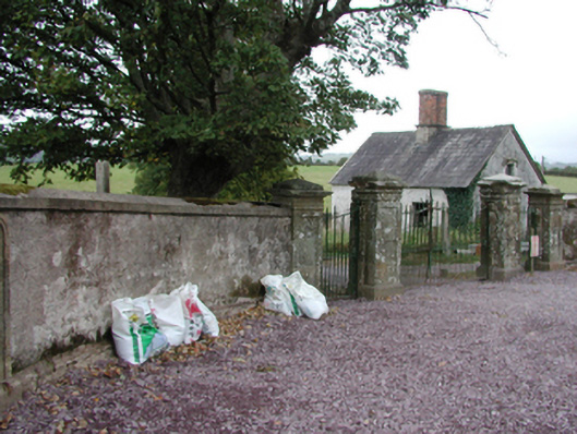 Glenbeg Housegate lodge · 1743 yd
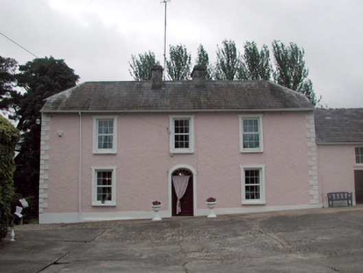 Castle Farmfarm house · 1.2 mi
 Mogeely CastleCastle · 2.0 mi
 Tallow HillMountain / peak · 2.5 mi
 Mocollop Picnic SitePicnic place · 2.8 mi
 Graveyard in Curraheen (kinnatalloon By.)Graveyard · 2.9 mi
 Castlebrook forestWood · 3.4 mi
 Ballysaggartmore TowersHeritage attraction · 3.6 mi
 KnockadullaunMountain / peak · 4.4 mi