What is recorded here
Marked as a double-banked or double-moated rectangular enclosure (ext. dims. c. 70m NE-SW; c. 60m NW-SE) on the 1839 ed. of the OS 6-inch map. It is located at the bottom of a N-facing slope with a small S-N stream just to the W. This is a rectangular area (dims. c. 39m N-S; c. 34m E-W) set in a root crop and defined by the slight dip of a moat (Wth c. 7m) at S, W and N, with the remains of an outer bank (Wth c. 7m) at W. It can be seen as a cropmark with inner and outer banks on the OSI series of aerial photographs (2005). (Barry 1977, 218, WX 42)
The above description is derived from the published 'Archaeological Inventory of County Wexford' (Dublin: Stationery Office, 1996). In certain instances the entries have been revised and updated in the light of recent research.
Compiled by: Michael Moor
Date of upload/revision: 3 July, 2012
The monument record does not grant public access. Check the route and ask the landowner before entering private land.
- What survives
- Recorded monument
Places near here
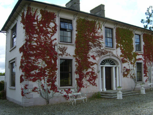 Ballymackesy Housefarm house · 1249 yd
 Embanked enclosureFairy fort / earthen ringfort · 1272 yd
 (Site of) ChurchChurch · 1322 yd
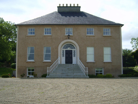 Borohill Housefarm house · 1389 yd
 Ruin of a small castleRuins · 2.2 mi
 (Site of) CastleCastle, unclassified · 2.3 mi
 Raheennahoon HillMountain / peak · 2.8 mi
 Bree HillMountain / peak · 3.1 mi
 Dick Joynt MemorialMemorial · 3.9 mi
 Glenour MonumentMemorial · 4.2 mi
 Silver WattleSilver Wattle · 8.6 mi
 Pedunculate OakPedunculate Oak · 8.8 mi