What is recorded here
Marked as a circular embanked feature (ext. diam. c. 45m) on the 1837 (MA 74) and 1915 eds. of the OS 6-inch map, and remembered locally as a fort which was removed in the 1950s. Situated on a gentle S-facing slope, it is not now visible at ground level in reclaimed pasture.
Compiled by: Michael Moore
Date of upload: 24 August 2010
The monument record does not grant public access. Check the route and ask the landowner before entering private land.
- What survives
- Recorded monument
Places near here
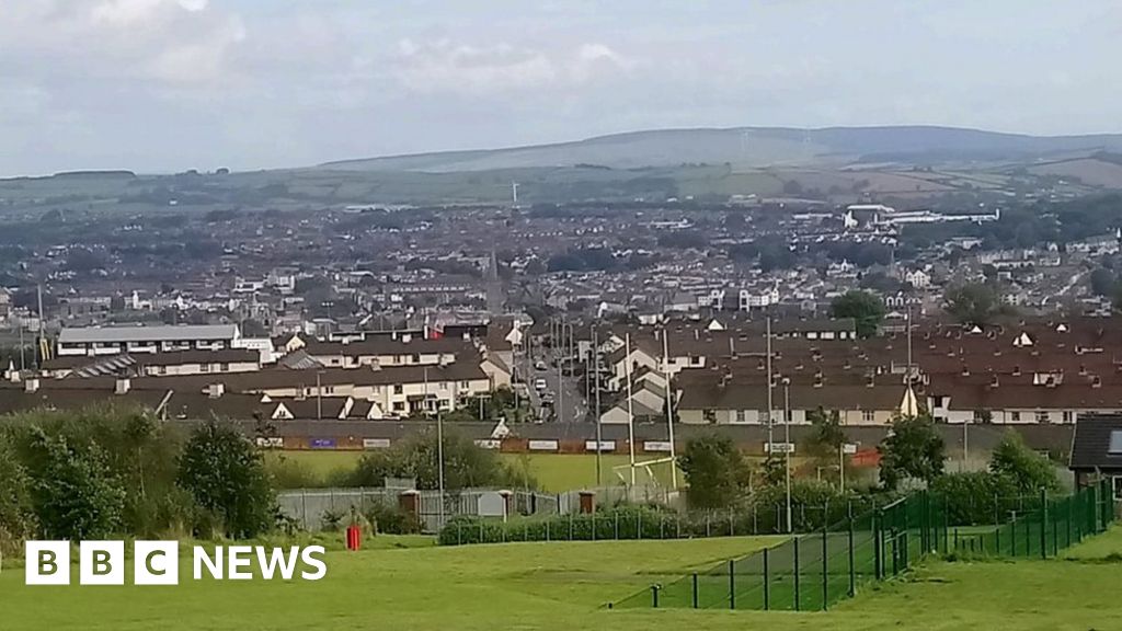 IndicatedFairy fort / ringfort · 372 yd
 LissagarrymoghFairy fort / earthen ringfort · 459 yd
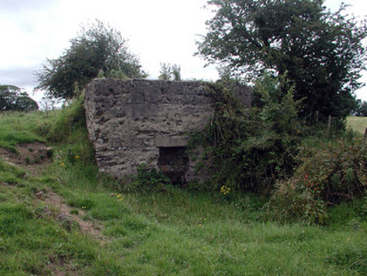 Historic buildingOfficially recorded historic building · 516 yd
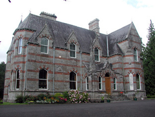 Saint Nathy'scountry house · 646 yd
 CastleCastle, unclassified · 1.4 mi
 Casatle (ruins)Castle, unclassified · 3.1 mi
 Bockagh HillMountain / peak · 3.1 mi
 Bawn IslandIslet · 3.9 mi
 Rose PointHeadland · 4.2 mi
 Castle PointHeadland · 4.4 mi
 Crow IslandIslet · 4.4 mi
 Fairymount HillMountain / peak · 5.6 mi