What is recorded here
Depicted as a rectangular embanked enclosure (ext. dims c. 50m E-W; c. 25m N-S) on the 1837 ed. of the OS 6-inch map and as a slight linear N-S scarp on the 1915 ed. Situated on a slight rise in a low-lying landscape. This is a rectangular scrub-covered platform (dims of top 13.6m E-W; 11m N-S; dims of base 19.3m E-W; H 1.2m) with a grass-covered berm (Wth 12.5m) to the W defined by a scarp (H 0.5m; L 46m N-S). The platform is cut by N-S field banks at E and W, while the platform and scarp are cut by or abut a road wall at S. Archaeological testing (05E0038)immediately E of this monument failed to produce any related material (Cotter 2008).
Compiled by: Michael Moore
Date of upload: 24 August 2010
The monument record does not grant public access. Check the route and ask the landowner before entering private land.
- What survives
- Recorded monument
Places near here
 St Patricks WellHoly well · 631 yd
 Kiltoom ChurchChurch · 637 yd
 Corn & Tuck MillMill, unclassified · 768 yd
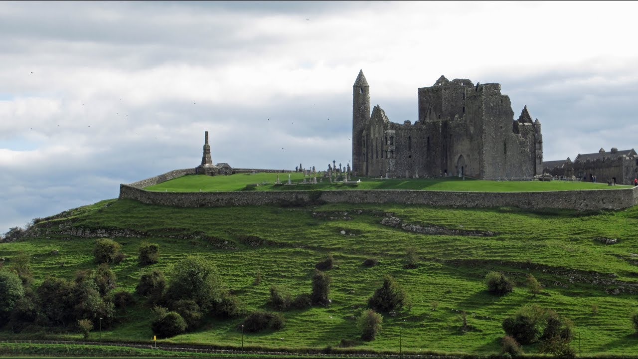 Mass-rock in KiltoomMass-rock · 866 yd
 Carnagh BayBay · 1411 yd
 Long IslandIslet · 1.3 mi
 Little IslandIslet · 1.4 mi
 Bally BayBay · 1.8 mi
 Curraghboy CastleCastle, unclassified · 3.2 mi
 RindoonWood · 3.4 mi
 Rindown CastleCastle, Anglo-Norman masonry castle · 3.5 mi
 St. John's WoodWood · 4.6 mi