What is recorded here
Located on a slight NE-facing slope with a small WNW-ENE stream c. 30m to the N and its confluence with a larger W-E stream is c. 150m to the NE. This is a rectangular grass-covered area (dims. 32m NW SE; 28m NE SW) defined by slight traces of back filled moats (Wth 5 6m; D 0.2m). It is visible as a vegetation mark on aerial photographs (MM (5) 23-4) and on the OSI series of aerial photographs (1995). (Barry 1977, 216, WX28)
The above description is derived from the published 'Archaeological Inventory of County Wexford' (Dublin: Stationery Office, 1996). In certain instances the entries have been revised and updated in the light of recent research.
Compiled by: Michael Moore
Date of upload/revision: 27 August, 2012
The monument record does not grant public access. Check the route and ask the landowner before entering private land.
- What survives
- Recorded monument
Places near here
 Enclosure in BarmoneyEnclosure · 224 yd
 Church WellHoly well · 883 yd
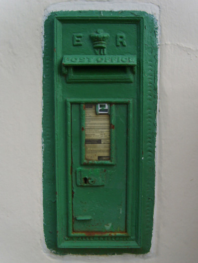 post boxpost box · 1081 yd
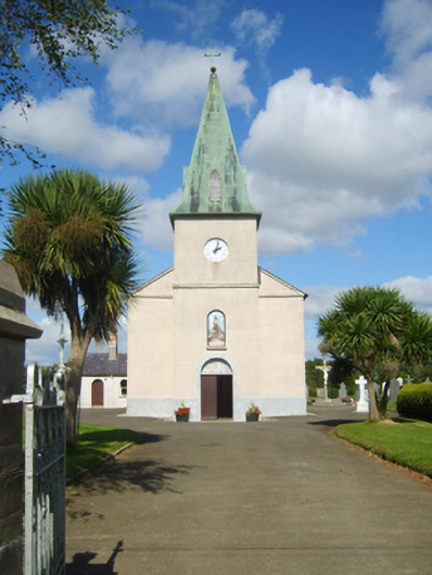 Catholic Church of Saint John the Baptistchurch/chapel · 1131 yd
 (Site of) Doonoonen CastleCastle, motte · 1.9 mi
 Raheennahoon HillMountain / peak · 1.9 mi
 Camaross HillMountain / peak · 2.6 mi
 (Site of) CastleCastle, unclassified · 2.8 mi
 Celebrating 125 YearsMemorial · 3.2 mi
 Dick Joynt MemorialMemorial · 3.4 mi
 Battle Of The Three RocksMemorial · 5.5 mi
 Battle of Three Rocksbattle · 5.7 mi