What is recorded here
Located on a shelf towards the bottom of the NW-facing slope of Slievecoiltia. This is a circular scrub-covered area (diam. 35m N-S; 32m E-W) defined by a low bank (Wth 3m; int. H c. 0.5m) N-E and a scarp (H 0.4m at S to 1.6m at W) elsewhere. There is no visible fosse or entrance. Rath (WX034-032----) is c. 260m to the W but c. 50m lower in elevation.
The above description is derived from the published 'Archaeological Inventory of County Wexford' (Dublin: Stationery Office, 1996). In certain instances the entries have been revised and updated in the light of recent research.
Compiled by: Michael Moore
Date of upload/revision: 13 Seotember, 2012
The monument record does not grant public access. Check the route and ask the landowner before entering private land.
- What survives
- Recorded monument
Places near here
 Devon whitebeamDevon whitebeam · 598 yd
 SlievecoiltiaMountain / peak · 735 yd
 Embanked enclosureFairy fort / earthen ringfort · 986 yd
 St. Nicholas WellHoly well · 1313 yd
 site of CastleCastle, unclassified · 1701 yd
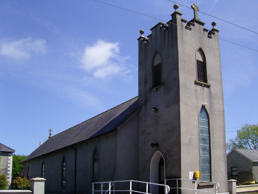 Catholic Church of Saint Mary and Saint Brigidchurch/chapel · 1.0 mi
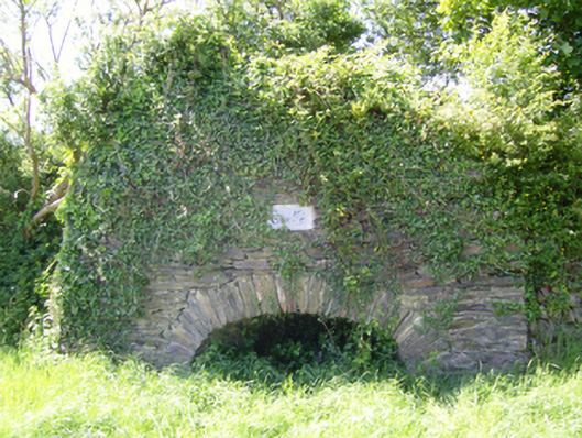 kilnkiln · 1.0 mi
 The Croppy GroveMemorial · 1.2 mi
 Garden of RemembranceMemorial · 1.2 mi
 Partridge HillMountain / peak · 1.4 mi
 John F. Kennedy Arboretum MuseumMuseum · 1.5 mi
 Kennedy HomesteadHeritage attraction · 1.7 mi