What is recorded here
On a slight NE-facing slope. Subcircular grass-covered area (dims. 27.5m ENE-WSW; 26.5m NNW-SSE) defined by an earth and stone bank (Wth 2.5m; int. H 1.45m; ext. H 1m) separated by a berm (Wth 9m) from an outer scrub-covered bank (Wth 2.1m; int. H 0.75m; ext. H 1.25m). The outer bank has stone-facing NE-SSE and is incorporated into a field bank SSE-NNW. Original entrance not identified. No visible fosse.
The above description is derived from the published 'Archaeological Inventory of County Waterford' (Dublin: Stationery Office, 1999). In certain instances the entries have been revised and updated in the light of recent research.
Compiled by: Michael Moore.
Date of upload/revision: 16th May 2011.
The monument record does not grant public access. Check the route and ask the landowner before entering private land.
- What survives
- Recorded monument
Places near here
 Site of R. C. ChapelChurch · 237 yd
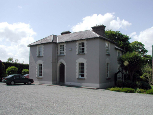 presbytery/parochial/curate's housepresbytery/parochial/curate's house · 240 yd
 Embanked enclosureFairy fort / earthen ringfort · 714 yd
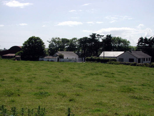 farmyard complexfarmyard complex · 762 yd
 Fenor BogNature reserve · 1.1 mi
 Ballyscanlon HillMountain / peak · 1.2 mi
 Castle (in ruins)Castle, tower house · 1.5 mi
 Dunhill CastleCastle · 1.5 mi
 Annestown monumentMemorial · 2.3 mi
 St. Martin's WellSpring · 2.7 mi
 Lime KilnVisitor information · 2.7 mi
 Annestown BeachBeach / strand · 2.8 mi