What is recorded here
Marked as a circular embanked enclosure (ext. diam. c. 35m) divided by a NE-SW field bank on the 1837 ed. of the OS 6-inch map, and situated towards the top of the S-facing slope of an E-W ridge. An arc (C 45m) of an earthen bank (Wth 3.5m; int. H 0.2m; ext. H 0.6m) survives S-NW. There is no visible fosse, and the rest of the perimeter cannot be traced but the NE-SW field bank is still present.
Compiled by: Michael Moore
Date of upload: 24 August 2010
The monument record does not grant public access. Check the route and ask the landowner before entering private land.
- What survives
- Recorded monument
Places near here
 Tober CaelainnHoly well · 549 yd
 IndicatedFairy fort / earthen ringfort · 824 yd
 NunneryReligious house, Augustinian, of Arrouaise nuns · 980 yd
 Castlereagh HouseCastle, unclassified · 1378 yd
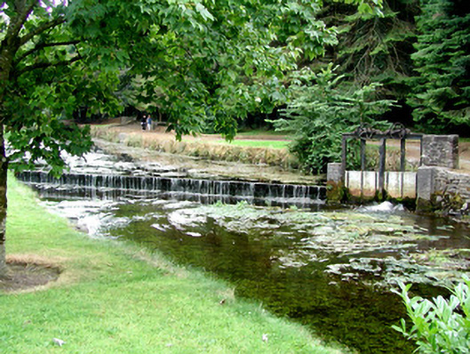 weirweir · 1482 yd
 Workhouse MemorialMemorial · 1.2 mi
 Silver IslandIslet · 1.3 mi
 Clonalis HouseMuseum · 1.4 mi
 Coolougher WoodForest · 3.7 mi
 Druminagh WoodForest · 4.0 mi
 Fairymount HillMountain / peak · 4.3 mi
 CastleCastle, Anglo-Norman masonry castle · 4.8 mi