
More pictures of this place


What is recorded here
The ordinary view hides the useful part of the story. Main canal continues south-west before curving back around to continue south-east after passing beneath two recent concrete construction road bridges with concrete and steel rail parapets.
Eglington Canal, built c.1850, following curving path south from inflow from River Corrib Upper and passing beneath five bridges which have made watercourse non-navigable. Canal begins to north of Salmon Weir on west bank of Corrib River (upper) where small harbour is located. Canal then proceeds to move south-west with limestone block-lined banks having limestone block coping stones and narrow tarmac footpath to west bank before splitting into two separate waterways with main canal continuing to south-west and shorter but equally substantial branch proceeding south beneath road bridge and recent pedestrian bridge where branch would have serviced small group of mills which are built surrounding small harbour at end of branch. Main canal continues south-west before curving back around to continue south-east after passing beneath two recent concrete construction road bridges with concrete and steel rail parapets. Canal at these points narrowed by addition of limestone block-lined piers which reduce spans of each bridge by two metres eliminating need for more complex structures. Between these two bridges is second branch which follows south-easterly route before re-entering canal south of lock basin via stone-lined channel. Lock basin comprised of limestone block lining with limestone coping blocks, timber lock gates and box, sluice racks having recent cast-iron safety railings to banks. One set of gates removed with flow of canal now regulated by remaining gate and sluice racks to north of lock basin. Canal then continues to south-east before splitting again with south-east branch passing under William O'Brien Bridge and into Claddagh Quay and second branch travelling roughly north-east before re-entering River Corrib (lower) after passing over stone-lined weir.
Main canal continues south-west before curving back around to continue south-east after passing beneath two recent concrete construction road bridges with concrete and steel rail parapets.
This finely designed and expertly built canal was once an essential trade route allowing goods and passengers easy access to the navigable section of the River Corrib and also provided power to several mills. The presence of the canal no doubt encouraged the expansion of trade and industry in the locality and is of significant industrial heritage value as well as amenity value.
The story behind this place
Main canal continues south-west before curving back around to continue south-east after passing beneath two recent concrete construction road bridges with concrete and steel rail parapets.
This does not grant access. Most recorded buildings are privately owned; view them only from public ground unless the owner allows entry.
Places near here
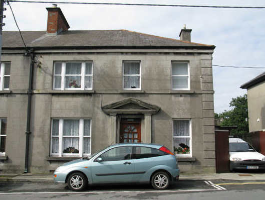 Saint Jarlath'shouse · 54 yd
 Saint Joseph's Catholic Churchchurch/chapel · 89 yd
 Walter Macken HouseMemorial · 290 yd
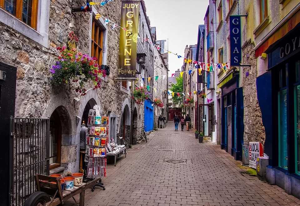 Galway GaolMemorial · 354 yd
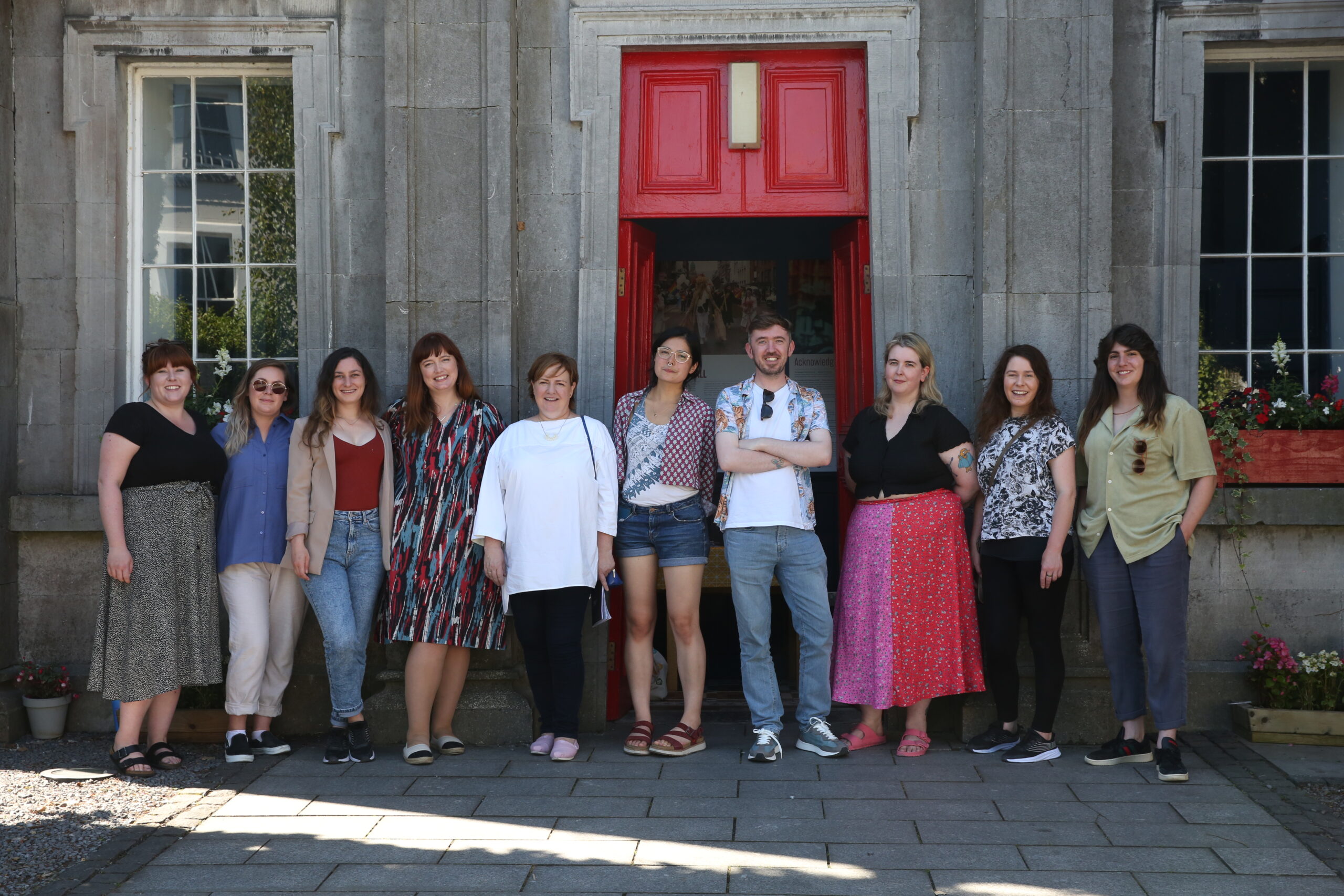 Galway Arts CentreMuseum · 355 yd
 CastleCastle, tower house · 493 yd
 Cross in Townparks (galway By., St. Nicholas Par.)Cross · 504 yd
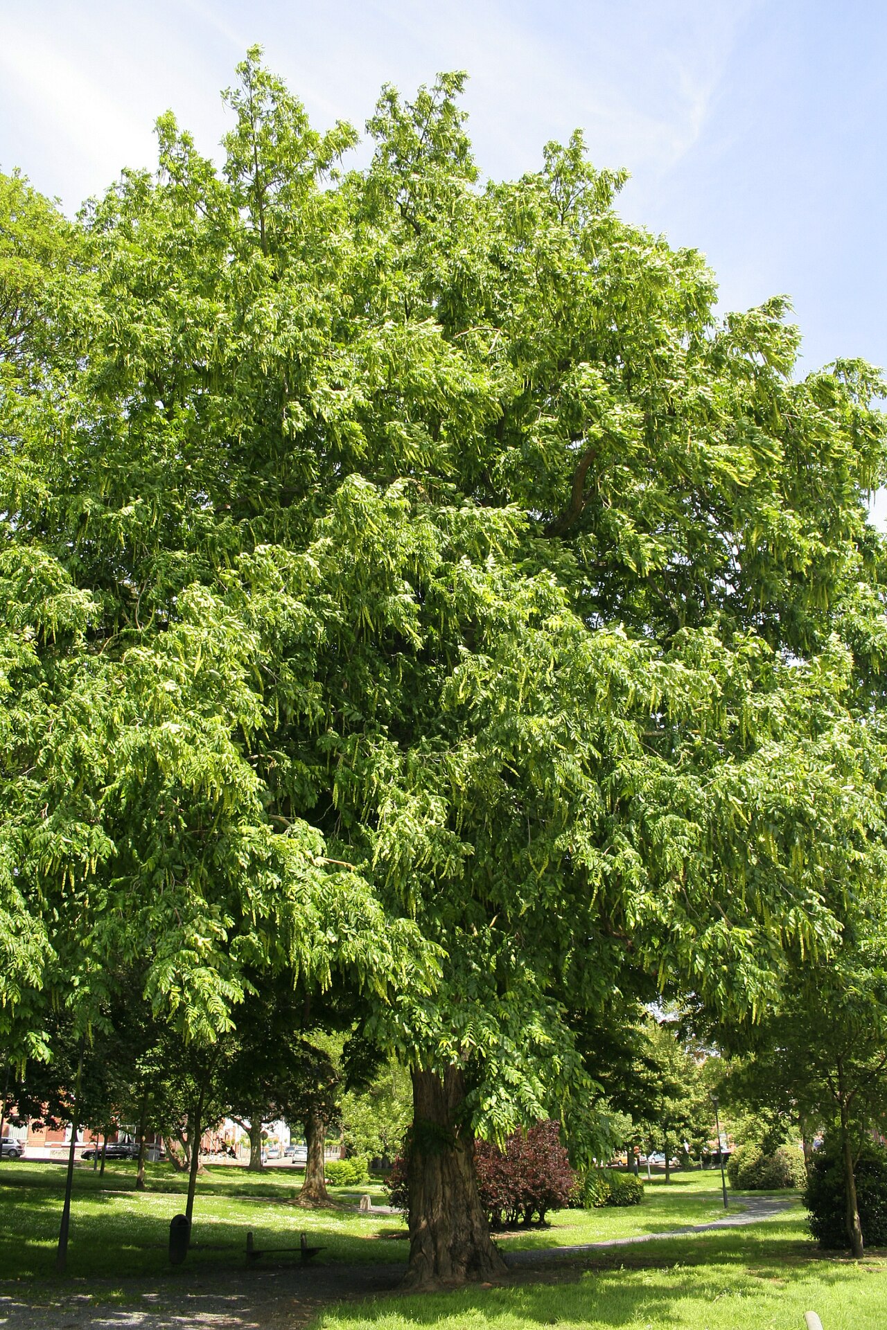 Caucasian WingnutCaucasian Wingnut · 524 yd
 Blake's CastleCastle · 526 yd
 CrossCross, Market cross · 536 yd
 Claddagh Ring MuseumMuseum · 557 yd
 GinkgoGinkgo · 558 yd
Other information
Photo: N Chadwick · CC BY-SA 2.0