What is recorded here
Eel Weir stood on the south bank of the Camoge beside Monasteranenagh, guiding silver eels past a watermill and toward Cistercian kitchens. Lady Anne Southwell owned the structure during the mid-seventeenth century, suggesting the abbey still depended on that steady river yield. The weir vanished from later maps and modern satellite views, leaving only a hidden line in the water where eels once climbed into human hands.
On the S bank of the Camoge River that marks the townland boundary with Monaster North. One of three eel-weirs (LI031-125001/002-) associated with a watermill (LI031-125003-) 50m to N and the Cistercian abbey (LI031-050004-) of Monasteranenagh located 550m to SSE. Annotated ‘Eel Weir’ on the 1840 ed. OSi 6-inch map. Not depicted on the 1897 ed. OSi 25-inch map. The 1654-56 Civil Survey of Limerick recorded that Lady Anne Southwell was the owner in Monasteranenagh & Ballymacsradeen and the precincts of the abbey of ‘an eele weare, and an orchard’ (Simington 1938, 148). The eel weir depicted on the 1840 ed. OSi 6-inch map may have been built on site of medieval eel weir. No surface remains visible on OSi orthophoto taken between 2005-12 or on Google Earth orthoimage dated 14/02/2020.
Compiled by: Martin Fitzpatrick
Date of upload: 1 April 2021
The monument record does not grant public access. Check the route and ask the landowner before entering private land.
- What survives
- Recorded monument
Places near here
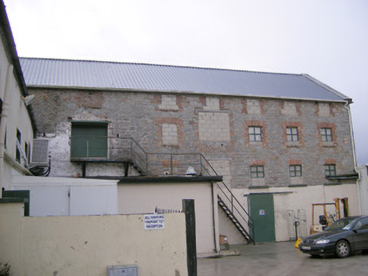 mill (water)mill (water) · 79 yd
 River Viewhouse · 166 yd
 Burial GroundChildren's burial ground · 470 yd
 Grave YardGraveyard · 631 yd
 Monasteranenagh AbbeyHeritage attraction · 656 yd
 Bawn in Rathmore NorthBawn · 1.3 mi
 Bawn in TullovinBawn · 1.6 mi
 European ashEuropean ash · 1.7 mi
 Biodiversity in the Maigue CatchmentVisitor information · 2.1 mi
 Dysert AenghusaHeritage attraction · 3.2 mi
 Villiers WellSpring · 3.6 mi
 Kinnoor WellSpring · 4.8 mi