What is recorded here
The semi-circular curve of the field boundaries from NW-N-NE of abbey site (WM017-054----) possibly indicates the presence of an Early Christian ecclesiastical enclosure (Swan 1988, 23).
Compiled by: Caimin O’Brien
Date of upload: 12 October 2015
A semi-circular field boundary near an abbey site suggests an Early Christian ecclesiastical enclosure, likely dating to the 6th–9th centuries. No specific folklore is recorded, but its proximity to a monastic site implies a religious or ceremonial function.
The monument record does not grant public access. Check the route and ask the landowner before entering private land.
- What survives
- Recorded monument
Places near here
 Site of AbbeyReligious house, unclassified · 7 yd
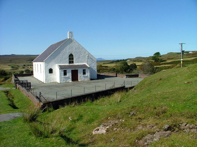 Site of ChurchChurch · 102 yd
 Saint Mary's Catholic Churchchurch/chapel · 600 yd
 Milltown Castle in ruinsCastle, unclassified · 1082 yd
 Rathcastle Househouse · 1554 yd
 CastleCastle, tower house · 1566 yd
 Ancient Ring FortWood · 1716 yd
 Sessile OakSessile Oak · 4.0 mi
 Abbeyshrule AbbeyRuins · 5.0 mi
 Craft WorkshopHeritage attraction · 6.3 mi
 Guest ServicesVisitor information · 6.3 mi
 Goldsmith Birthplace, PallasVisitor information · 6.5 mi