What is recorded here
Ecclesiastical enclosure in Reentrusk is a circular stone boundary beside a ruined church on the south side of Cod's Head, preserving a monastery shape that O'Donoghue identified and others traced through its gaps and possible underground passage. The wall stands eight metres wide in places, tall enough outside to mark a deliberate limit and low enough inside to invite entry, while a radially set slab at the northeast edge suggests an approach rather than a random break. That much is written; what is not written is whether prayer, trade or fear first drew people through that gap, and the sea wind still moves through the answer like breath.
In rough grazing broken by rock outcrop, near coast on S side of Cod's Head. Circular area (25.8m N-S) enclosed by a collapsed stone wall (int. H 0.6m; ext. H 1.5m; Wth 8m); truncated to E by a stone wall which abuts the NE corner of a ruined church (CO114-021002-). Gap to W where stone wall crosses the line of the enclosing wall running W from the NW corner of the church. Ancient entrance may be to NE where a radially set slab, on edge, can be seen; line of stones just outside this may be the remains of an approaching trackway. Noted by O'Brien (1970, 17, No. 80); O'Shea and Crowley (1972, 43) note "traces of a possible entrance to a Man-made underground passage" (CO114-021004-); according to O'Donoghue (1986,318) "here is site of ancient monastery".
The above description is derived from the published 'Archaeological Inventory of County Cork. Volume 1: West Cork' (Dublin: Stationery Office, 1992). In certain instances the entries have been revised and updated in the light of recent research.
Date of upload/revision: 14 January 2009
The monument record does not grant public access. Check the route and ask the landowner before entering private land.
- What survives
- Recorded monument
Places near here
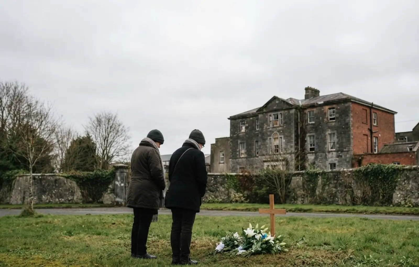 Children's burial ground in ReentruskChildren's burial ground · 1 yd
 Hut site in ReentruskHut site · 91 yd
 Blue IslandsIslet · 215 yd
 DooneenViewpoint · 1214 yd
 Industrial chimney in AllihiesIndustrial chimney · 1232 yd
 Old Copper MineRuins · 1337 yd
 Black RockIslet · 1439 yd
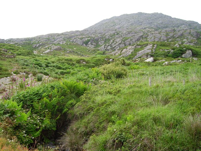 Eagle HillMountain / peak · 1613 yd
 KnocknagallaunMountain / peak · 1.1 mi
 Allihies Copper Mine MuseumMuseum · 1.4 mi
 Caherkeen Mass RockHeritage attraction · 1.5 mi
 Ballydonegan StrandBeach / strand · 1.5 mi