
What is recorded here
Situated towards the SE edge of a slight ridge. The graveyard (WI042-013002-) is indicated by a dashed line on the 1st (1838) ed, 6-inch OS map, slight traces of which are visible as a scarp marking the edge of the oval enclosure (dims. 110m NE-SW; 90m NW-SE). The extent of the graveyard may be the remains of an ecclesiastical enclosure. There are no grave-markers or headstones visible above ground. Within the enclosure a font (WI042-013004-) was noted and cross (WI042-012----) lies c. 160m to the NW.
The above description is derived from the published 'Archaeological Inventory of County Wicklow' (Dublin: Stationery Office, 1997). In certain instances the entries have been revised and updated in the light of recent research.
Compiled by: Jean Farrelly
Date of upload: 19 November 2012
The monument record does not grant public access. Check the route and ask the landowner before entering private land.
- What survives
- Recorded monument
Places near here
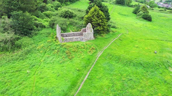 Church (Site of)Church · 35 yd
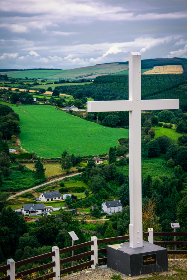 CrossCross · 165 yd
 R.C. Chapel (in Ruins)Church · 1.2 mi
 Ballynultagh HillMountain / peak · 1.7 mi
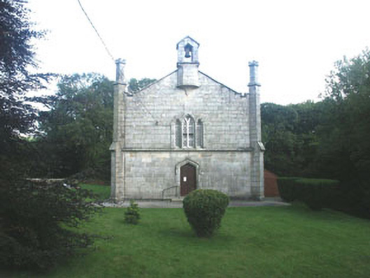 Mullinacuff Churchchurch/chapel · 1.8 mi
 Cork oakCork oak · 2.7 mi
 Church (in ruins), GraveyardChurch · 2.8 mi
 European BeechEuropean Beech · 2.9 mi
 Clonmore MoatCastle, motte and bailey · 2.9 mi
 Clonmore Castle (in Ruins)Castle, Anglo-Norman masonry castle · 2.9 mi
 Eagle HillMountain / peak · 4.7 mi
 Acaun Church (in ruins), GraveyardChurch · 5.7 mi
Other information
Photo: Credit not shown in the picture search · Rights wording not checked; contact us if this picture should be removed