What is recorded here
In improved pasture, to E, S and W of Kilcredane Church (KE058-015001-). Sub-rectangular area (dims. c. 45m WNW-ESE; c. 25m NNE-SSW) defined by scarp (Wth 2.5m; H 0.25m) ENE->W; appears to represent an inner enclosure in close proximity to the church. A potential outer enclosure is traceable as a sub-rectangular area (dims. c. 90m WNW-ESE; c. 60m NNE-SSW) defined by scarp (Wth 3.5m; H 0.2m) ENE->S and SW->WNW; Curvilinear cropmark WNW->NW evident upon modern aerial photography (Bing 2015). Fosse (overall Wth 5.0m; basal Wth 1.0m; D 0.1m) traceable ENE->SE. Interior of both enclosures is generally level and grass covered. Both enclosures are bisected by a field boundary (long-axis NNE-SSW) which is to immediate E of Kilcredane Church. Not visible in field to N due to dense overgrowth of vegetation.
Compiled by: Alison McQueen and Vera Rahilly
Date of upload: 9 October 2015
The monument record does not grant public access. Check the route and ask the landowner before entering private land.
- What survives
- Recorded monument
Places near here
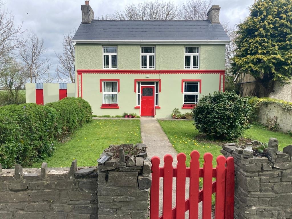 Enclosure in Cloonydonigan UpperEnclosure · 515 yd
 LissplineFairy fort / earthen ringfort · 1183 yd
 R.C. ChapelChurch · 1653 yd
 Gweestin Br.Bridge · 1748 yd
 CastleCastle, motte · 2.0 mi
 Fieries CastleCastle · 3.2 mi
 Aghadoe Early Medieval Ecclesiastical SiteHeritage attraction · 3.6 mi
 Famine MemorialMemorial · 4.5 mi
 GinkgoGinkgo · 4.7 mi
 Circular WalkWalking route · 4.8 mi
 Kerry 2nd Brigade of the Irish Republican ArmyMemorial · 4.9 mi
 Giant SequoiaGiant Sequoia · 4.9 mi