What is recorded here
Inishkenny is a large subcircular enclosure in County Cork pasture, holding St. John's church and graveyard in its southeast quadrant. Earthen banks, a low arc, a stone wall, a levelled fence and a natural scarp still trace its hundred-metre edge on the north-facing slope. The name may preserve an older desert church, while people have walked past its boundary for centuries, remembering more than they know.
In pasture, on N-facing slope. Aerial photograph (Dr. D.D.C. Pochin Mould) shows large subcircular enclosure (diam. c. 100m) with St. John's church and graveyard (CO085-04101-; CO085-04102-) in SE quadrant. Enclosure defined by earthen bank of townland boundary (int. H 1.25m) N->E; arc of low bank (H 0.3m) E->SE; stone wall of graveyard SE->SW; levelled field fence W->NW and natural scarp NW->N. The decretal letter of 1199 appears to identify Inishkenny as 'Dissertanaeda' (Bolster 1972, 88); 'disert' is a name associated with pre-Norman church sites (Hurley 1979, 74).
The above description is derived from the published 'Archaeological Inventory of County Cork. Volume 2: East and South Cork' (Dublin: Stationery Office, 1994). In certain instances the entries have been revised and updated in the light of recent research.
Date of upload/revision: 14 January 2009
The monument record does not grant public access. Check the route and ask the landowner before entering private land.
- What survives
- Recorded monument
Places near here
 Grave YdGraveyard · 1 yd
 sign postsign post · 423 yd
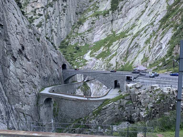 Monument WaterfallMonument · 518 yd
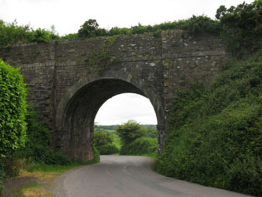 bridgebridge · 584 yd
 waterfallVisitor information · 586 yd
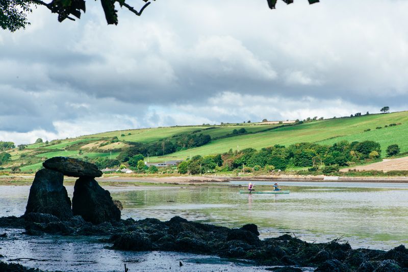 Fulacht FianFulacht fia · 1146 yd
 Graveyard in BallynoraGraveyard · 1195 yd
 viaduct city viewViewpoint · 1515 yd
 Caslte (Site of)Castle, unclassified · 1526 yd
 Rumley's Open FarmHeritage attraction · 1.3 mi
 Sunday WellSpring · 1.4 mi
 Murphy's FarmHeritage attraction · 2.0 mi