What is recorded here
Eighty metres of sacred boundary still circle the grassland east of the Farrantemple church, marking a place where worship and defence likely intertwined before the current building rose in 1800. The earthwork degraded rather than vanished, suggesting humans kept using the land instead of abandoning it. That continuity matters more than a formal label because it preserves the shape of local belief across centuries.
On the E-facing slope of a ridge in good grassland, c. 30m E of a church (KK033-032001-) and graveyard (KK033-032002-). Listed in the RMP (1996) as ‘Ecclesiastical enclosure, possible’. Indicated on the OS 1st ed 6-inch map and on the 25-inch map as a large circular enclosure (diam. c. 80m). Clearly visible on Bing aerial photography (accessed 11 February 2013) as a subcircular area (c. 85m NW-SE; c. 75m SW-NE). Carrigan (1905, 126) refers to this as a large rath, levelled in 1860, and notes the foundations of a castle (KK033-031002-) in the interior. On inspection in 1989 it was found to be enclosed by a degraded bank (Wth 7m; H 0.3m) and external fosse (Wth 5-6m; D 0.4m). A raised area in the S quadrant (max. dims. 12m N-S; 10m E-W) was noted. The adjacent church was built in 1800 on the site of an earlier church (KK033-032001-).
Compiled by: Mary Tunney
Date of upload: 12 February 2013
The monument record does not grant public access. Check the route and ask the landowner before entering private land.
- What survives
- Recorded monument
Places near here
 CastleCastle, unclassified · 1 yd
 The Rower Churchchurch/chapel · 119 yd
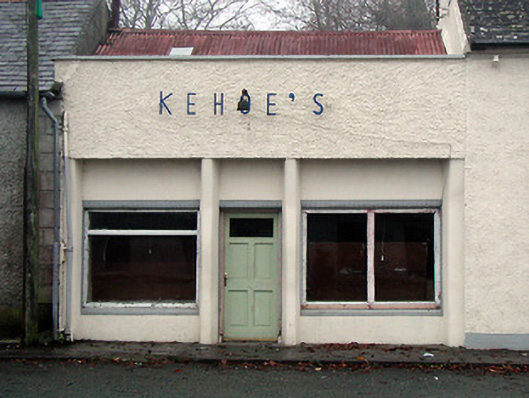 Kehoe'sshop/retail outlet · 148 yd
 Cappanroe Upper Ringfort (rath)Archaeological place · 716 yd
 Enclosure in FarrantempleEnclosure · 1511 yd
 Coolhill Castle (in ruins)Castle, tower house · 1.2 mi
 The Kiln FieldWood · 1.6 mi
 The SpoutSpring · 2.4 mi
 Silver WattleSilver Wattle · 2.5 mi
 Graveyard in St. Mullin'sGraveyard · 2.6 mi
 Brandon HillMountain / peak · 3.9 mi
 Crutched FriarsMemorial · 4.4 mi