What is recorded here
In grassland, 370m NE of Dunnaman Castle (LI030-012----). Nave and chancel church ruins (LI021-081001-) in S quadrant of graveyard (LI021-081002-), which according to local tradition was dedicated to the Holy Trinity and was called 'Teampull na Trionoid' (Dunraven 1865, 203). Earthworks visible on Digital Globe aerial photographs in field immediately to N, E and S appear to represent the remains of an earlier ecclesiastical enclosure (approx. diam. 168m). A partial curving ditch visible 61m N of the graveyard wall appears to form part of an ecclesiastical enclosure with corresponding curving ditch 67m S of graveyard wall. Other earthworks visible inside the enclosure may represent the remains of settlement.
Compiled by: Caimin O'Brien
Date of upload: 31 December 2018
The monument record does not grant public access. Check the route and ask the landowner before entering private land.
- What survives
- Recorded monument
Places near here
 Dunnamancastle Housefarm house · 398 yd
 Bawn in DunnamanBawn · 449 yd
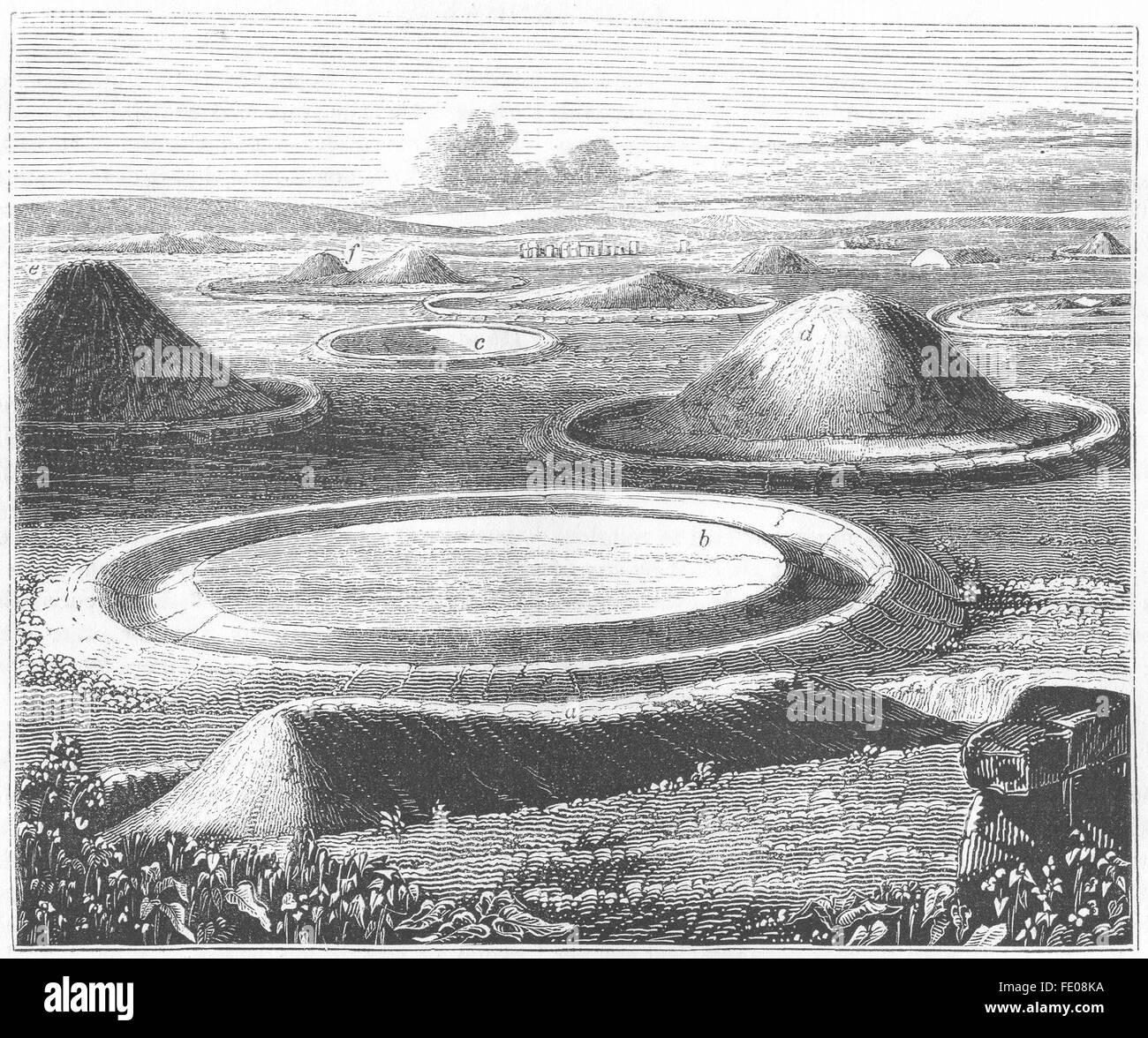 BarrowBarrow, mound barrow · 1573 yd
 Castleroberts Bridgebridge · 1600 yd
 Site of CastleCastle, unclassified · 1.0 mi
 Dysert AenghusaHeritage attraction · 1.4 mi
 Kinnoor WellSpring · 1.6 mi
 Biodiversity in the Maigue CatchmentVisitor information · 2.4 mi
 Flat cemetery in Kiltenan SouthFlat cemetery · 2.5 mi
 European ashEuropean ash · 3.1 mi
 KnockfeerinaMountain / peak · 4.2 mi