What is recorded here
Cushacorra is a large ecclesiastical enclosure where four townlands touch on the south crest of a low ridge in County Clare. Its earthen bank still marks part of the circle, but pasture, reclamation and later field walls have blurred the rest. A church, children’s burial ground and holy well belong to the same place, suggesting prayer, birth, death and water all shared one enclosed life.
On the S crest of a low E–W ridge with cleared improved pasture surrounding the site from ESE clockwise to W. Located at the confluence of four townlands: Cushacorra, Pouleenacoona, Tulla and Bouleevin. Hachured on the 1842 and 1915 eds. of the OS 6-inch maps.
A large very poorly preserved enclosure (int. dims. c. 100m N–S; c. 80m E–W) defined from WSW to ESE by a low grass-covered earthen bank (Wth 3.3–5.2m; 0.1–0.4m). From ESE to WSW there is no obvious trace of an enclosing element, but a steep scarp (H 1.8m) resulting from the outer ground level being lowered in reclamation works may follow its line. A townland boundary wall (Wth 0.6m; H 1.2m) overlies the enclosure from SSW to NW and curves along the exterior from NW to E. A later, collapsed field wall (Wth 1.1m; H 0.2–0.4m) runs NNE–SSW over the interior to E of centre. A building (CL007-003002-), children’s burial ground (CL007-003003-) and church (CL007-003004-), lie along the southern edge of the enclosure. A holy well (CL007-002----) lies c. 30m to the W in Bouleevin townland and two more enclosures (CL007-013---- and CL007-004----) lie within Cushacorra townland, c. 300m and 400m to the S.
Compiled by: Mary Tunney
Date of upload: 30 September 2021
The monument record does not grant public access. Check the route and ask the landowner before entering private land.
- What survives
- Recorded monument
Places near here
 IndicatedChurch · 39 yd
 ToberacollureHoly well · 68 yd
 ToheracollureRuins · 80 yd
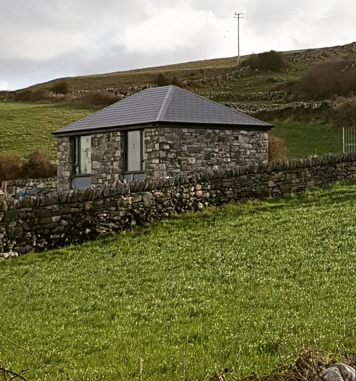 Enclosure in CushacorraEnclosure · 342 yd
 Grave of Saint Mac Duagh's ServantArchaeological place · 2.0 mi
 Cloonselherny Castle (in ruins)Castle, tower house · 2.3 mi
 Cappagh CastleCastle · 2.6 mi
 Kilnaloone GraveyardArchaeological place · 2.6 mi
 Kilmacduagh Monastic SiteVisitor information · 3.1 mi
 Kilmacduagh MonasteryHeritage attraction · 3.1 mi
 Slieve RoeMountain / peak · 4.2 mi
 Coole-Garryland Nature ReserveNature reserve · 4.3 mi