What is recorded here
The church of Creeve (RO017-165001-) is within a subcircular enclosure (dims c. 125m N-S; c. 110m E-W) defined by scarp (H 0.3m at NW to 2m at ENE) NW-E-SW with an outer fosse (Wth of base 5-6m; ext. D 0.3m) ENE-SW. There are traces of an outer bank (Wth 3.25-5m; ext. H 0.4-0.9m) at ESE and S-SW, and a causeway (Wth 10m) across the fosse at E. Archaeological testing (05E1095) c. 40m W of the graveyard failed to produce any related material (Sweetman 2008a).
Compiled by: Michael Moore
Date of upload: 21st January, 2011
The monument record does not grant public access. Check the route and ask the landowner before entering private land.
- What survives
- Recorded monument
Places near here
 Church (in Ruins)Church · 9 yd
 Tober PatrickHoly well · 134 yd
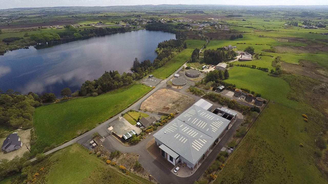 Embanked enclosureFairy fort / earthen ringfort · 727 yd
 Cloonahee Housecountry house · 1.2 mi
 Coolnahinch WoodWood · 2.2 mi
 Church WoodWood · 2.5 mi
 CastleCastle, unclassified · 2.9 mi
 War of Independence Commemorative Military MemorialMemorial · 3.7 mi
 Garrymond IslandIslet · 4.6 mi
 Goat IslandIslet · 4.6 mi
 Castle (Site of)Castle, unclassified · 4.6 mi
 Strokestown ParkHeritage attraction · 4.8 mi