
What is recorded here
Corbally holds a ghost circle sixteen hundred feet wide, shallow enough to vanish under rain yet stubborn enough to mark the soil where church and graveyard still stand. Tecolm ruins occupy the southwest edge, suggesting the enclosure was not a boundary for livestock but a container for prayer, memory and the living who kept returning. The field may have swallowed a town, a festival or a lineage of priests, but the shape remains patient, waiting for someone to walk its missing arc and remember what it held.
Partial cropmark of large roughly circular-shaped possible ecclesiastical enclosure (approx. diam. 160m) visible on Google earth aerial imagery. Tecolm Church ruins (LA025-010----) and graveyard (LA025-010001-) in SW quadrant of possible ecclesiastical enclosure.
See attached image of Google Earth photograph taken 14/07/2018
Compiled by: Caimin O'Brien based on details provided by Simon Dowling
Date of upload: 27 December 2019
The monument record does not grant public access. Check the route and ask the landowner before entering private land.
- What survives
- Recorded monument
Places near here
 Tecolm Church (in Ruins)Church · 133 yd
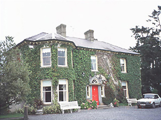 Corbally Househouse · 282 yd
 Enclosure in ParkahoughillEnclosure · 1339 yd
 Enclosure in Inch (ballyadams By.)Enclosure · 1520 yd
 Bawn in MilltownBawn · 1727 yd
 Tullamoy Castle (ruins)Castle · 1.4 mi
 DM PenderMemorial · 2.5 mi
 Brackney WoodForest · 3.7 mi
 Mass Rock WalkWalking route · 3.8 mi
 Cobbler's Castle WalkWalking route · 3.8 mi
 Mass RockNamed rock · 4.0 mi
 Pedunculate OakPedunculate Oak · 4.1 mi
Other information
Photo: Credit not shown in the picture search · Rights wording not checked; contact us if this picture should be removed