What is recorded here
Clogheen is a 120m circular enclosure on a Kildare river ridge, its narrow fosse visible only in a 1971 aerial photograph rather than on the ground. A church and graveyard occupy its centre, suggesting an early ecclesiastical settlement shaped by the Black River’s meander. The earth has taken the ditch back, leaving behind a ghostly circle in grass and memory.
Visible on a 1971 aerial photograph (CUCAP BGH 46) as the faint cropmark of fairly narrow fosse defining a large circular area (est. diam. c. 120m) occupying the upper portion of the W end of a pasture ridge just above the flood plain at a meander in the Black River, a tributary of the Barrow, which flows around the site N-W-S. The cropmark was not visible at ground level in 1986 (SMR file), or on the present visit. A church site (KD021-001003----) and a graveyard (KD021-001004----) lie at the centre of the enclosure; all suggesting the existence of an early ecclesiastical site here (KD021-001005-).
Compiled by: Gearóid Conroy
Date of upload: 13 October 2011
The monument record does not grant public access. Check the route and ask the landowner before entering private land.
- What survives
- Recorded monument
Places near here
 IndicatedEcclesiastical site · 2 yd
 Enclosure in DerryleaEnclosure · 991 yd
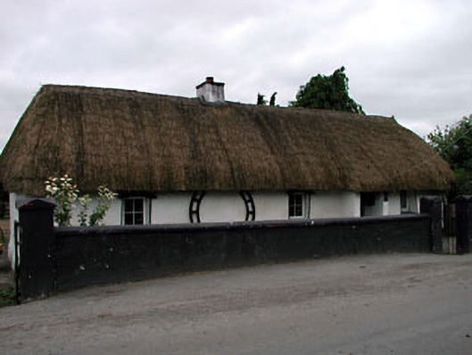 Canal Cottagehouse · 1.2 mi
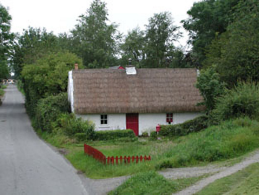 Small Wonderhouse · 1.2 mi
 Lodge GroveWood · 2.8 mi
 European YewEuropean Yew · 3.0 mi
 Lea Castle (in ruins)Castle, Anglo-Norman masonry castle · 3.1 mi
 CastleCastle, ringwork · 3.1 mi
 Bog Lake WalkWalking route · 4.4 mi
 Derryounce Walk (Yellow Loop)Walking route · 4.5 mi
 Bithia Mary CrokerMemorial · 4.7 mi
 Emo CourtHeritage attraction · 6.7 mi