What is recorded here
Killelane is a long rectangular burial ground on the west slopes of Knocknahoran where a divided stone wall separates ordinary graves from a possible older circular enclosure. The southern section holds grave mounds, two cross-slabs and a leacht reputed to mark Faoláin, while the northern section preserves a semi-circular bank that may be the original sacred boundary. A collapsed rectangular foundation abuts the dividing wall, leaving behind a place where Christian markers, older earthworks and forgotten use still occupy the same narrow hillside.
Killelane burial ground (KE043-157002-) Cill Fhaoláin: Situated on the W slopes of Knocknahoran, this rectangular burial ground is occupied by grave mounds and markers, the possible remains of an earlier circular enclosure, a leacht, 2 cross-slabs and the foundations of a rectangular building. It measures 57.6m NNE-SSW x 17.9m WNW-ESE and is enclosed by a stone wall up to 1m high with a blocked-up entrance at the W end of the S wall. It is bisected E-W by a low wall and it is only in the S section that the grave mounds and low uninscribed gravemarkers occur.
The N section is occupied by a semi-circular enclosure, its S side formed by the dividing wall. The enclosing bank rises to a height of 1.1m externally and .52m internally and the interior measures 12.3m in diameter and c. 9.5m N-S. It is possible that this feature represents the original, probably circular, enclosure.
The leacht, reputed to be the bed or grave of Faoláin, is located in the centre of the S part of the burial ground and the 2 cross-inscribed stones stand upright on top of it amongst some large quartz stones. It consists of a rectangular stone mound or platform faced with drystone masonry and it measures 4.55m NNE-SSW, 2.4m ENE-WSW and .65m in height.
One of the cross-inscribed stones measures .66m in height x .2m in width and bears on its S face a Latin cross with slightly expanded terminals to head and arms. The other stone measures .54m in height and .21 to .12m in width and its NE face bears a very thinly incised plain cross.
The rectangular foundation, possibly a house or animal-pen, abuts the S side of the dividing wall and measures 6m NNE-SSW x 1.5m ESE-WNW internally. The drystone walls stand to a maximum height of .83m and are 1.46m thick but have largely collapsed. A rectangular area to S of this is defined at its S and W sides by a low bank 1m wide and .2m high, to N by the dividing wall, and to E by the W wall of the 1st structure.
The above description is derived from J. Cuppage, ‘Corca Dhuibhne. Dingle Peninsula archaeological survey. Ballyferriter. Oidhreacht Chorca Dhuibhne’ (1986), no. 851. In certain instances the entries have been revised and updated in the light of recent research.
Date of upload: 8 August 2013
The monument record does not grant public access. Check the route and ask the landowner before entering private land.
- What survives
- Recorded monument
Places near here
 Leacht in Cill FhaoláinLeacht · 21 yd
 ToberelaneHoly well · 234 yd
 Mass-house in An Fearann (tc An Daingean),gort OnóraMass-house · 1605 yd
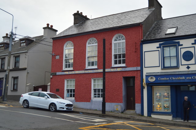 Saint Mary's Temperance Hallhall · 1.1 mi
 Castle (Site of)Castle, tower house · 1.1 mi
 Caol Cronin - SeascapesGallery · 1.2 mi
 Charles HaugheyMemorial · 1.3 mi
 Dingle Marina Dive CentreHeritage attraction · 1.3 mi
 Memorial to all who lost their lives in our seas.Memorial · 1.5 mi
 An ChorrMountain / peak · 1.5 mi
 Tower (in ruins)Castle, unclassified · 1.9 mi
 An ScraigMountain / peak · 2.0 mi