What is recorded here
No wall or bank survives, yet the curving road and townland boundary still trace a two-hundred-metre circle around St Bridget's church, graveyard and holy well. The marsh to the south may have swallowed the earthwork, or the circle may never have been more than a line drawn on land. Either way, the enclosure lives in the shape of the road and the patience of the boundary.
On the E outskirts of Loughrea town (GA105-150----), straddling the main road. The line of this possible enclosure is suggested by the configuration of Danesfort Road to the W of the church (GA105-049002-) and a curving townland boundary to the SE of it. These indicate a roughly circular area with a diameter of c. 200m. However, no visible surface trace of an enclosure wall or bank survives and the land to S of the church is very marshy. Within this possible enclosure lie the church, dedicated to St Bridget, a graveyard (GA105-049003-) and a holy well (GA105-049004-). (Swan 1983, 271, 277)
Compiled by: Galway Archaeological Survey, UCG
Date of upload: 27 January 2020
The monument record does not grant public access. Check the route and ask the landowner before entering private land.
- What survives
- Recorded monument
Places near here
 St. Bridgets ChurchChurch · 2 yd
 St. Bridgets WellHoly well · 132 yd
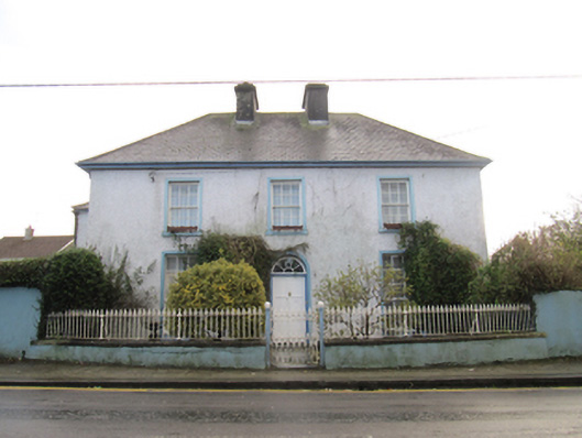 Saint Bride'shouse · 245 yd
 St. Brendans Catholic CathedralCathedral · 690 yd
 Bush IslandIslet · 979 yd
 Middle IslandIslet · 1015 yd
 Ballygasty Castle in ruinsCastle, unclassified · 1.1 mi
 Long PointHeadland · 1.1 mi
 Raruddy Castle (in ruins)Castle, tower house · 1.6 mi
 Turoe StoneHeritage attraction · 3.6 mi
 Dartfield Horse MuseumHeritage attraction · 3.7 mi
 Scalpeen RockNamed rock · 5.9 mi