What is recorded here
Located towards the bottom of the S-facing slope of Carrigroe Hill, with a small NE-SW stream c. 70m to the S. The graveyard (WX016-023----) is at the N edge of a D-shaped enclosure (dims c. 46m NNE-SSW; c. 40m WNW-ESE) defined by a fosse (Wth c. 2-3m) that is only visible as a cropmark on Google Earth (14/07/2018). It is cut by a NNE-SSW field bank and townland boundary with Bollacreen (L c. 40m) at W and is not visible at the other side of the field bank where there is now a modern house. There are entrance gaps at SE (Wth c. 5m) and S (Wth c. 6.5m), and a rectangular enclosure (WX016-023002-) is attached to the perimeter at NE. The cropmark was first reported by Jean Charles Caillere.
Compiled by: Michael Moore
Date of upload: 18 September 2019
Amended: 11 June 2020
The monument record does not grant public access. Check the route and ask the landowner before entering private land.
- What survives
- Recorded monument
Places near here
 Church in Ballyregan (scarawalsh By.)Church · 19 yd
 The CoilWood · 747 yd
 The GroveWood · 878 yd
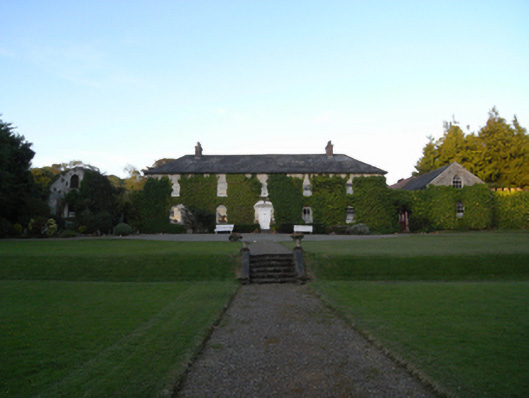 Rockspring Housefarm house · 1552 yd
 Giants BedNamed rock · 1721 yd
 Hearth in QuarryHearth · 1.0 mi
 Fulacht fia in RockspringFulacht fia · 1.1 mi
 Carrigroe HillMountain / peak · 1.3 mi
 Father Murphy CentreHeritage attraction · 1.7 mi
 IndicatedCastle, ringwork · 1.9 mi
 Milshoge RockMountain / peak · 2.7 mi
 Bird BoxesVisitor information · 3.9 mi