What is recorded here
A thin curving bank, eighteen metres long and less than a metre high, lies buried in long grass ten metres east of Aughinish church. It may have enclosed a sacred place before the present building rose, but the line vanishes elsewhere on the ground. The island's exposed shore and forgotten church suggest a small worship area abandoned to grass and distance rather than destroyed by human hands.
In a remote and exposed location on the SW shore of Aughinish Island. A curving arc of bank (L 18m; Wth 3m; int. H 0.6m; ext. H 0.8m), noted on inspection of 26 June 2007, c. 10m to the E of Aughinish church (CL003-010001-) may represent the remains of an ecclesiastical enclosure (CL003-010002-). It is covered in long grass. Its line is not evident elsewhere on the ground.
Compiled by: Mary Tunney and Gearóid Conroy
Date of upload: 28 April 2014
The monument record does not grant public access. Check the route and ask the landowner before entering private land.
- What survives
- Recorded monument
Places near here
 Church (in Ruins)Church · 1 yd
 The Russell GalleryGallery · 669 yd
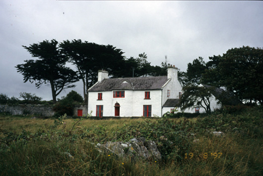 Mount Vernon Lodgehouse · 889 yd
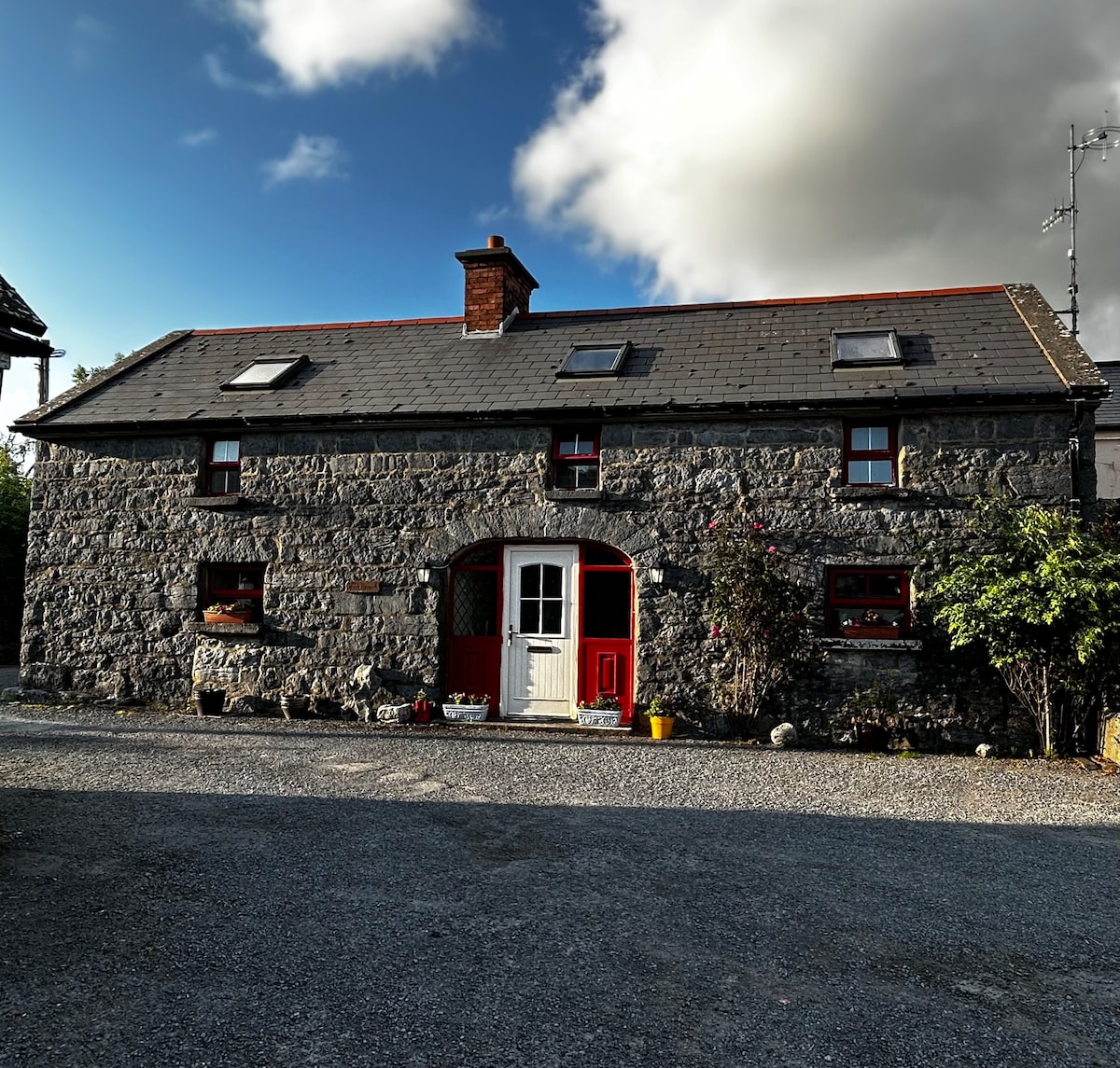 Enclosure in BallyvelaghanEnclosure · 1230 yd
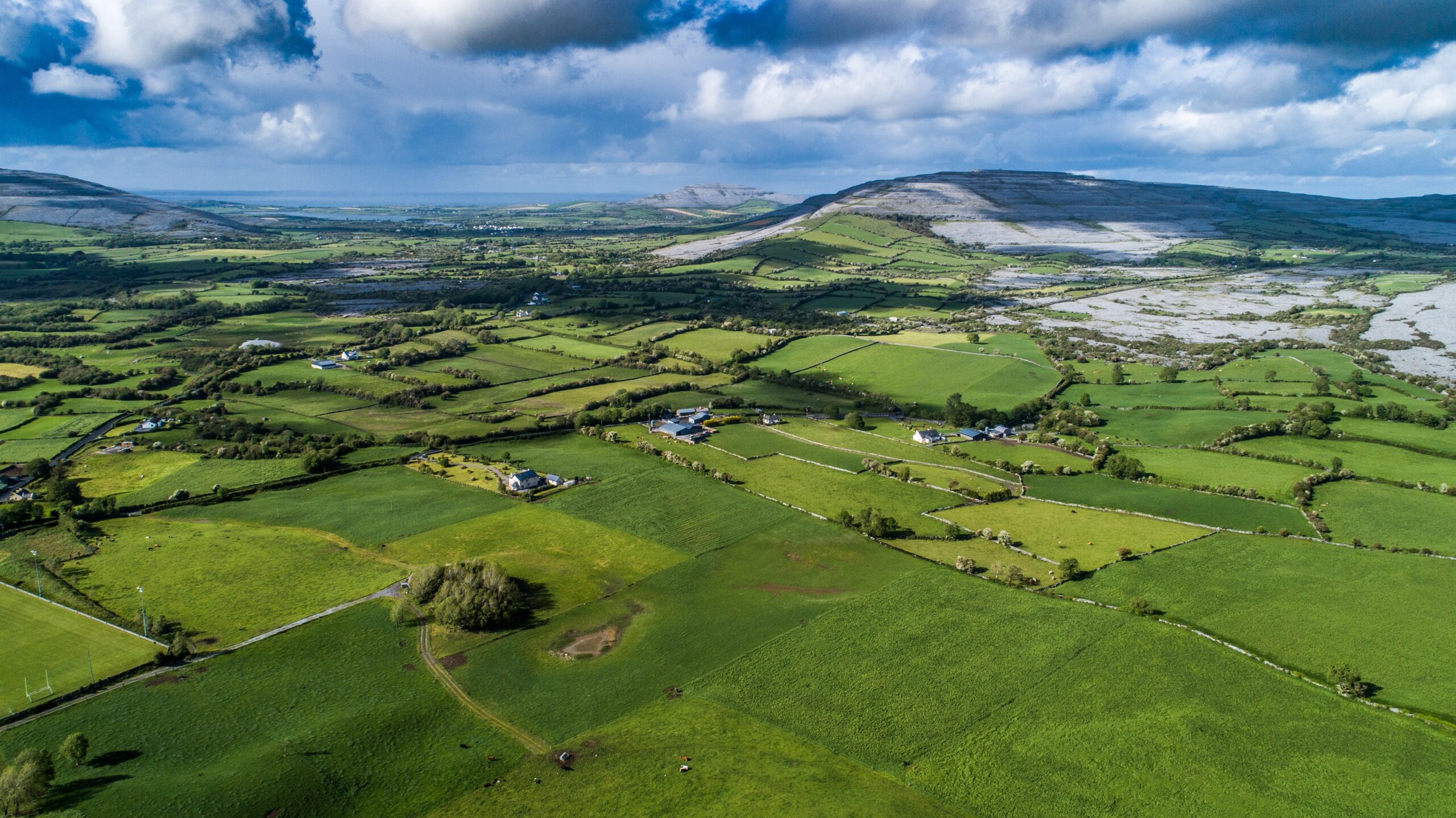 Parkmore FortFairy fort / ringfort · 1276 yd
 Muckinish PointHeadland · 1.3 mi
 Saint Patrick's ChurchHeritage attraction · 1.7 mi
 Shanmuckinish CastleCastle, tower house · 1.7 mi
_-_geograph.org.uk_-_5527885.jpg?width=1280) IndicatedBawn · 1.7 mi
IndicatedBawn · 1.7 mi Abbey HillMountain / peak · 2.0 mi
 Battle of Lough Raskabattle · 2.4 mi
 Corcomroe Abbey Geopark SiteVisitor information · 2.6 mi