What is recorded here
Scotland's National Record of the Historic Environment records Easter Dalguise, Dalguise Church as Church (19th Century). The official map says its point is accurate as follows: NGR given to the nearest 1m. The record does not by itself mean that the public may enter the place.
The historic-place record does not grant public access. Check current conditions and ownership before entering land or a building.
Places near here
 Easter DalguiseTownship (period Unassigned) · 157 yd
 Dalguise StationRailway Station (19th Century) - (20th Century) · 352 yd
 DalguiseRig and Furrow (medieval) - (post Medieval), Track (period Unassigned) · 633 yd
 DalmarnockLogboat (period Unassigned) · 1334 yd
 Creag an UamhaidhMountain / peak · 1.0 mi
 Creag MartachMountain / peak · 2.2 mi
 Willie Birrell MemorialMemorial · 2.3 mi
 Lady Charlotte's CaveCave · 2.5 mi
 Polney CragCliff · 2.6 mi
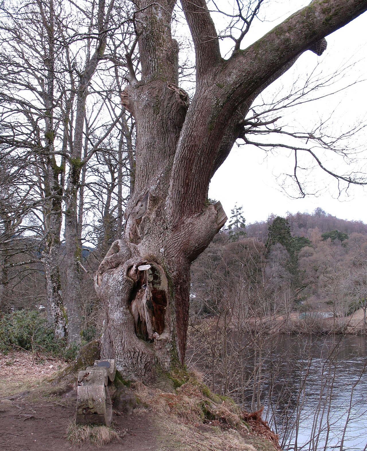 Niel Gow's OakOak · 3.1 mi
 Battle of DunkeldMajor battlefield · 3.1 mi
 The Parent LarchEuropean Larch · 3.2 mi