What is recorded here
Earthwork, possibly a rath, in Culmore, County Derry, may have stood through early Christian centuries, though certainty is absent. Its boundary is no longer visible, yet the possibility of a defended or ceremonial ring remains in the land itself. A person may have lived there, marked time, and vanished without leaving a name. The earth kept the shape of human presence long after memory failed.
The official Northern Ireland record identifies this as EARTHWORK, possibly RATH. Recorded period: E.CHRIST.; UNCERTAIN. The official map point was placed at the centre of the recorded archaeological site from the source map reference.
The monument record does not grant public access. Check the route and ask the landowner before entering private land.
- What survives
- Recorded monument
Places near here
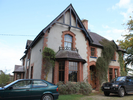 The Rectoryrectory/glebe/vicarage/curate's house · 630 yd
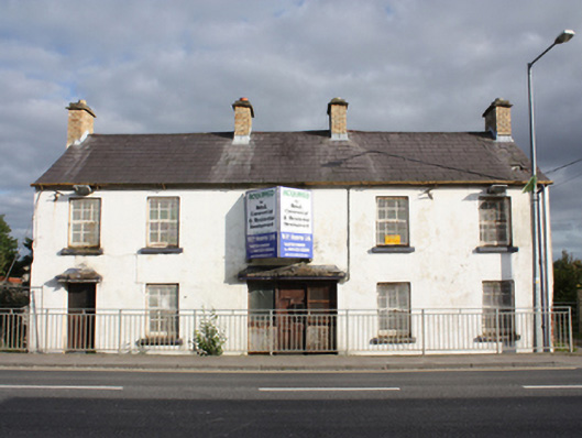 Muff Garda Síochána StationRIC barracks · 650 yd
 A.P. SITEA.P. SITE, 3 circular enclosures within large oval enclosure · 1413 yd
 ENCLOSURE in CulmoreENCLOSURE · 1.0 mi
 Muff ForestWoodland walk · 1.4 mi
 Eskaheen GraveyardGraveyard · 1.9 mi
 CHURCH & GRAVEYARD: ENAGH or DOMNACH DOLA in TempletownCHURCH & GRAVEYARD: ENAGH or DOMNACH DOLA · 2.8 mi
 Siege of Derry Boom Stone"The Boom Stone" (Traditionally part of 17th century boom across the River Foyle during the Siege of Derry) · 3.0 mi
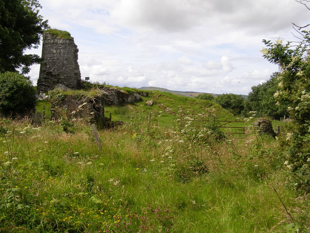 CASTLE & EARTHWORK ENCLOSURE: DOHERTY TOWER or CASTLE AILEACH in Elagh MoreCASTLE & EARTHWORK ENCLOSURE: DOHERTY TOWER or CASTLE AILEACH · 3.4 mi
 Scalp MountainMountain / peak · 4.1 mi
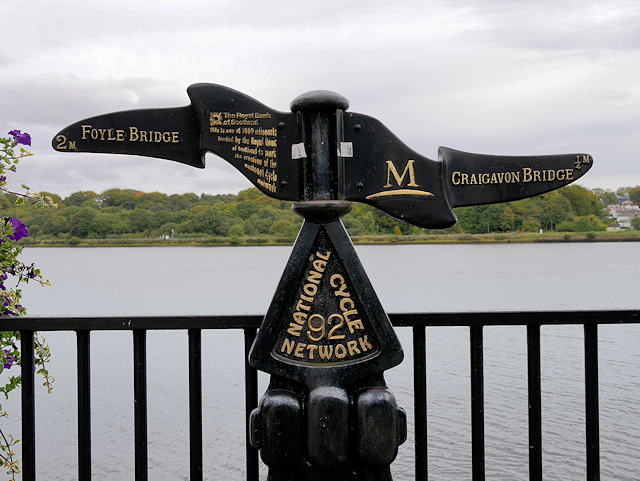 Millennium MilepostVisitor information · 4.7 mi
 Tower MuseumMuseum · 4.9 mi