What is recorded here
Tubbrid Upper holds several earthworks beside its medieval church, including a possible house platform and two aligned structures near the graveyard edge. They reveal a small settled area where domestic life and ritual death probably shared the same horizon. The flat banks still mark rooms, boundaries or shelters, inviting imagination about the people who shaped them before the church became the centre of memory.
There are several earthworks in the field immediately N and W of the medieval church (KK013-032001-) and graveyard (KK013-032002-) of Tubbrid. These include a possible house platform (dims. 9m N-S; 3m E-W; H 0.2m) 3m SW of the platform defining the edge of the medieval graveyard. Two other structures, one (dims. 7m N-S; 5.5m E-W) defined by a low bank (Wth 1m) and the other (dims. 15m N-S; 3m E-W) less well defined, are aligned NE-SW at the NE corner of the graveyard platform.
Compiled by: Jean Farrelly
Date of upload: 28 April 2020
The monument record does not grant public access. Check the route and ask the landowner before entering private land.
- What survives
- Recorded monument
Places near here
 Church (in Ruins)Church · 35 yd
 ToberpatrickHoly well · 147 yd
 Tubbrid Castle (in ruins)Castle, tower house · 175 yd
 Tubbrid Upper RingfortArchaeological place · 478 yd
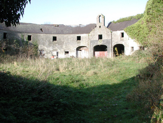 outbuildingoutbuilding · 1282 yd
 CastleCastle, ringwork · 1.4 mi
 Kildrinagh WoodForest · 1.5 mi
 Clomantagh HillMountain / peak · 2.2 mi
 The CopseWood · 2.6 mi
 John HelyMemorial · 3.9 mi
 DelaneyMemorial · 4.1 mi
 Bregaun HillMountain / peak · 6.4 mi