What is recorded here
No visible traces remain in Tinnacarrig, yet the earthwork appeared on the 1839 map as a circular enclosure reaching forty metres across. The 1874 map labelled it a fort, preserving a shape that people still recognised decades after its edges blurred. It may have been a ringfort, a temporary shelter or a boundary marker, but the repeated identification suggests the ground kept a memory the sky forgot.
The following description is derived from the published 'Archaeological Inventory of County Carlow' (Dublin: Stationery Office, 1993). In certain instances the entries have been revised and updated in the light of recent research.
Date of upload/revision: 17 July 2007
Shown on 1839 'OS 6-inch' map as circular enclosure (max. diam. c. 40m). Marked 'Site of fort' on 1874 OS 6" map. No visible surface traces. Possibly a ringfort.
The monument record does not grant public access. Check the route and ask the landowner before entering private land.
- What survives
- Recorded monument
Places near here
 Enclosure in TinnacarrigEnclosure · 814 yd
 Enclosure in CoolnamaraEnclosure · 863 yd
 Kilcullaun Church (in ruins), GraveyardChurch · 1514 yd
 The Barrow WayVisitor information · 1.0 mi
 Cournellan Locklock · 1.0 mi
 Castle (in ruins)Castle, tower house · 1.4 mi
 ClashgannyWood · 1.5 mi
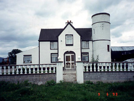 Tower Housefarm house · 1.6 mi
 General Thomas CloneyMemorial · 2.8 mi
 Keating's WellSpring · 2.9 mi
 Sweet ChestnutSweet Chestnut · 3.1 mi
 Tinahinch Castle (in Ruins)Castle, tower house · 3.1 mi