What is recorded here
In level pasture, c. 80m S of Cummer River. D-shaped raised area (16m N-S; 19.2m E-W) defined by scarp (H 0.8m) NW->S, abutting field fence on W side. Drop on N side consists of two scarps (H 0.5m) interrupted by terrace (max. Wth 7m); lower scarp has slight internal lip (H 0.1m).
The above description is derived from the published 'Archaeological Inventory of County Cork. Volume 3: Mid Cork' (Dublin: Stationery Office, 1997). In certain instances the entries have been revised and updated in the light of recent research.
Date of upload/revision: 14 January 2009
The monument record does not grant public access. Check the route and ask the landowner before entering private land.
- What survives
- Recorded monument
Places near here
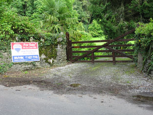 De Lacour Housecountry house · 403 yd
 Castle (Site of)Castle, unclassified · 544 yd
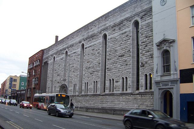 Dunisky Church (Site of)Church · 682 yd
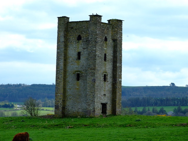 Beamish's Towerfolly · 706 yd
 Summerhouse WoodForest · 1311 yd
 Kilbarry Grave YardBurial ground · 1624 yd
 Stephen's WoodForest · 1644 yd
 Priest MemorialMemorial · 1.6 mi
 Kilmurry WoodsPicnic place · 1.8 mi
 Mashanaglass Castle (in Ruins)Castle, tower house · 2.0 mi
 Independence MuseumMuseum · 2.1 mi
 Battle of Macroombattle · 3.6 mi