What is recorded here
The following description is derived from both the published 'Archaeological Inventory of County Louth' (Dublin: Stationery Office, 1986) and the 'Archaeological Survey of County Louth' (Dublin: Stationery Office, 1991). In certain instances the entries have been revised and updated in the light of recent research.
Date of upload/revision: 17 July 2007
Remains of roughly circular platform (diam. c. 20m) with ramp leading up to it. Now defaced by quarrying.
The monument record does not grant public access. Check the route and ask the landowner before entering private land.
- What survives
- Recorded monument
Places near here
 Church in KaneChurch · 439 yd
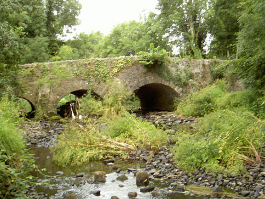 Fords Bridgebridge · 752 yd
 Promontory fortPromontory fort, inland · 955 yd
 Enclosure in FalmoreEnclosure · 1146 yd
 Bawn in Shortstone EastBawn · 1703 yd
 Roche CastleCastle, Anglo-Norman masonry castle · 1.2 mi
 Sky HillMountain / peak · 1.6 mi
 Ballsmill Amenity LandPicnic place · 2.4 mi
 MonascreebeMountain / peak · 3.1 mi
 Dundalk CentralHeritage attraction · 3.2 mi
 Photo GalleryHeritage attraction · 3.2 mi
 Forkhill Greenspace PathwayWalking route · 3.3 mi